|
|
|
Because
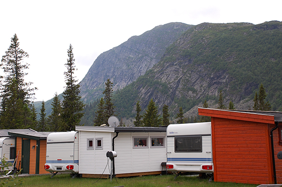
of low clouds at Rjukan, I take an evening tour to
Haglebu instead. The car is parked at Haglebu camping,
with Haglebunatten, 1278m, in the
background. At least
it's free from clouds. I start walking at 17.00.
|
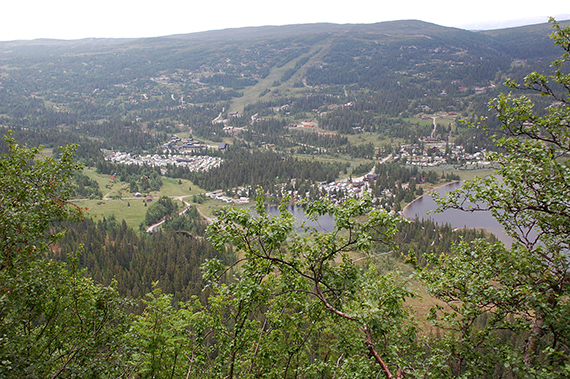
The
camping is at 800m, so the
walk is in the woods to
begin with. At 950m there are only dwarf birch
and the
view gets better. |
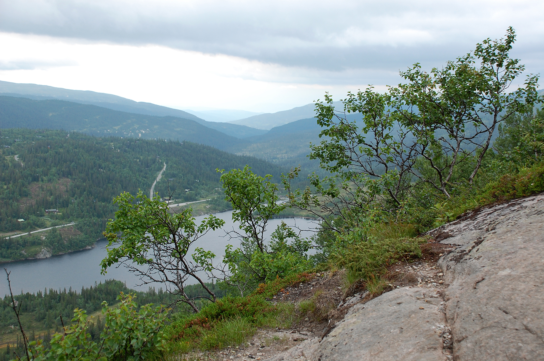
The
path could feel a little airy here, if you are afraid of heights, with
a steep drop at the side. But it's wide, and goes in a natural, very
nice
diagonal uphill.
|
|
|

|
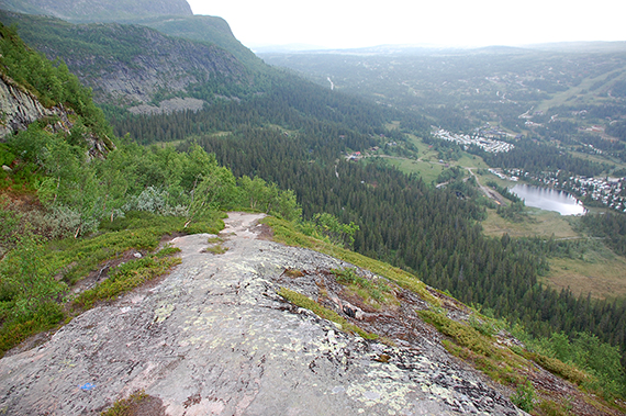
| At
about 1000m I reach the treeline and all forest ends. |
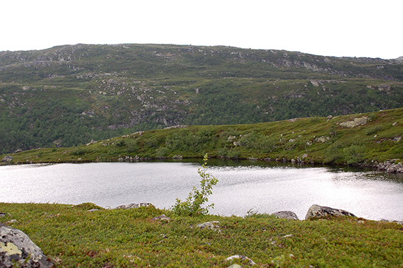
The
lake Snøfonntjänn at a little more than 1000m. |
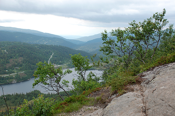
Some
150 altitude meters left
to the fortopp. Easy to walk, as you can see.
|

|
|
|
|
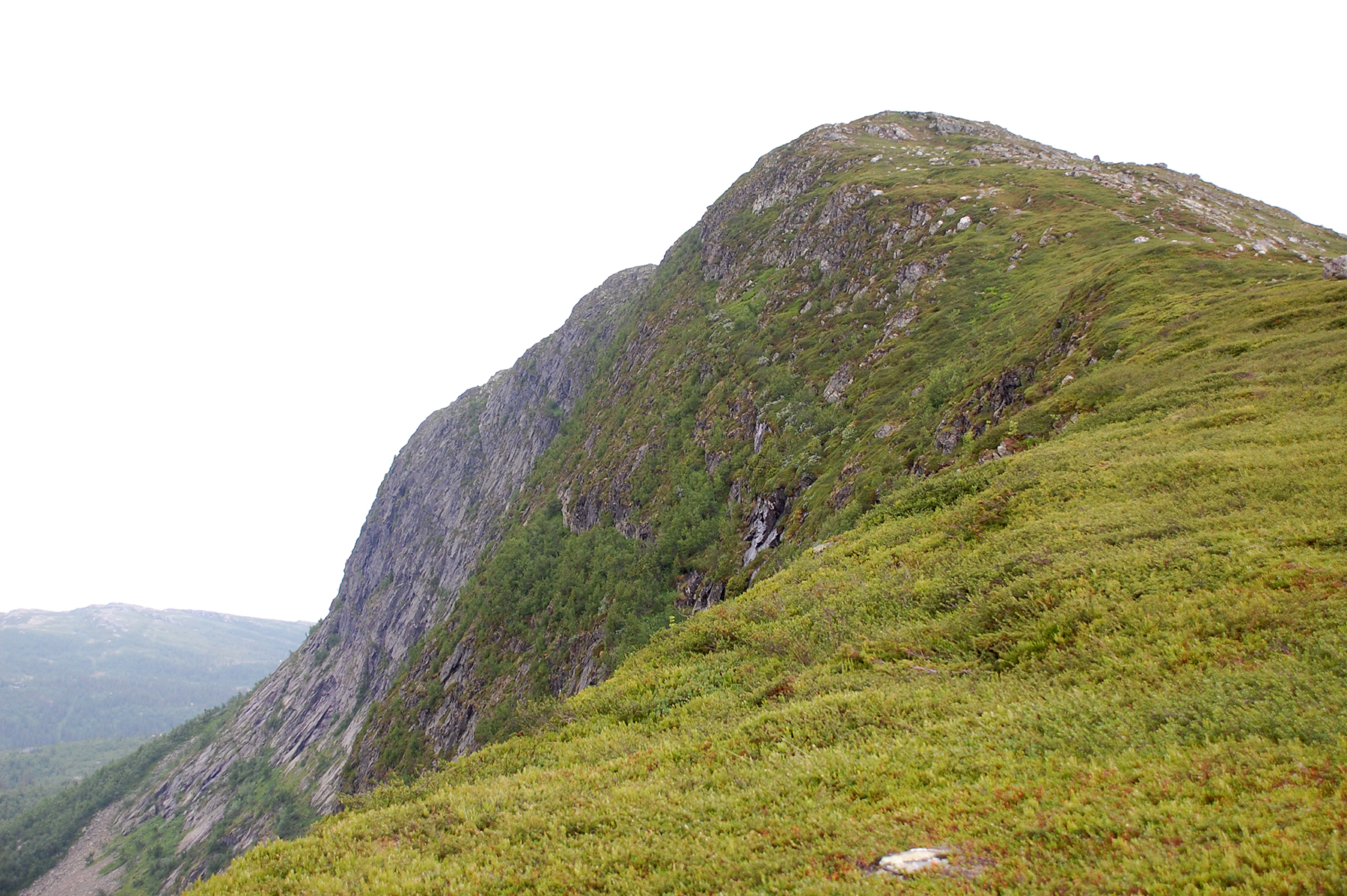
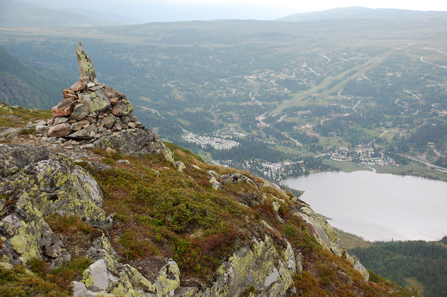
The lower summit, with its 1265m, provides
the best view. Here is the camping and Haglebu below. |
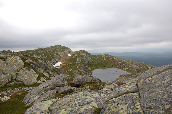
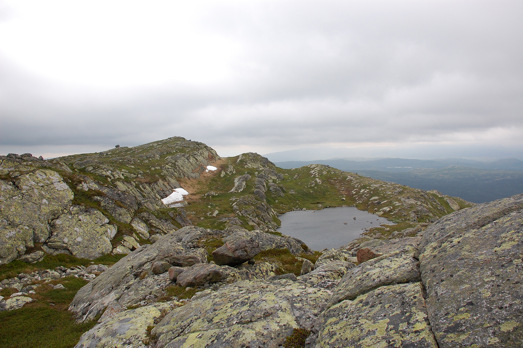
A small mountain lake, between the fortopp
and the main peak. Here is the lower summit behind to the left. |
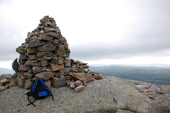
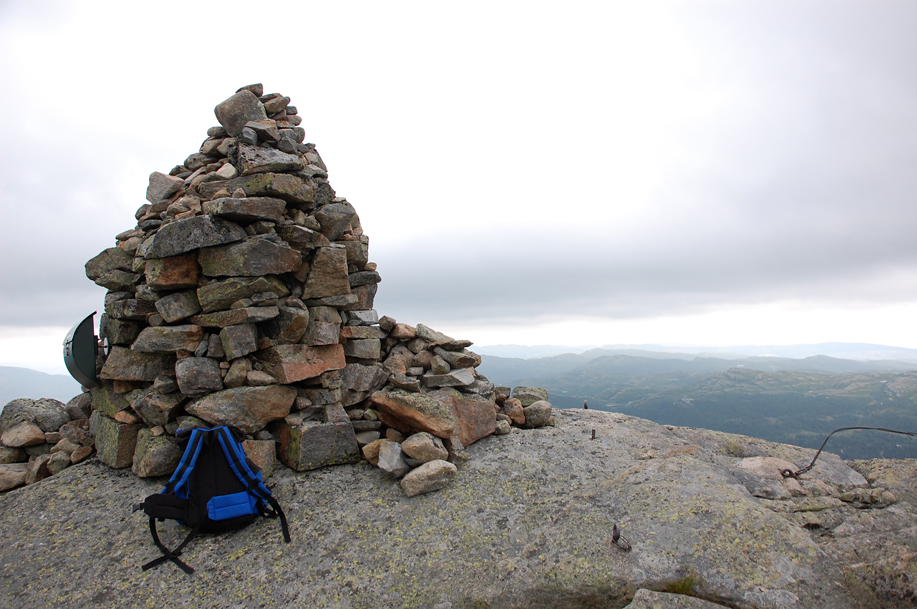
The
cairn on the main summit, 1278m. Right now I'm happy I didn't choose a
higher mountain, the cloudbase is just a few meters over my head. When
the weather is bad, climb lower peaks...
|
 |
|
|
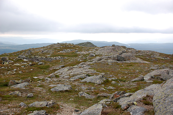
But
it's a nice peak to climb. Furthermore, now a start
getting in shape.
I'm back at the camping at 19.00, only
two hours after I started
climbing. Here is the lower
summit in the background, the picture taken
to the
northeast. |
|
|


