|  |  |
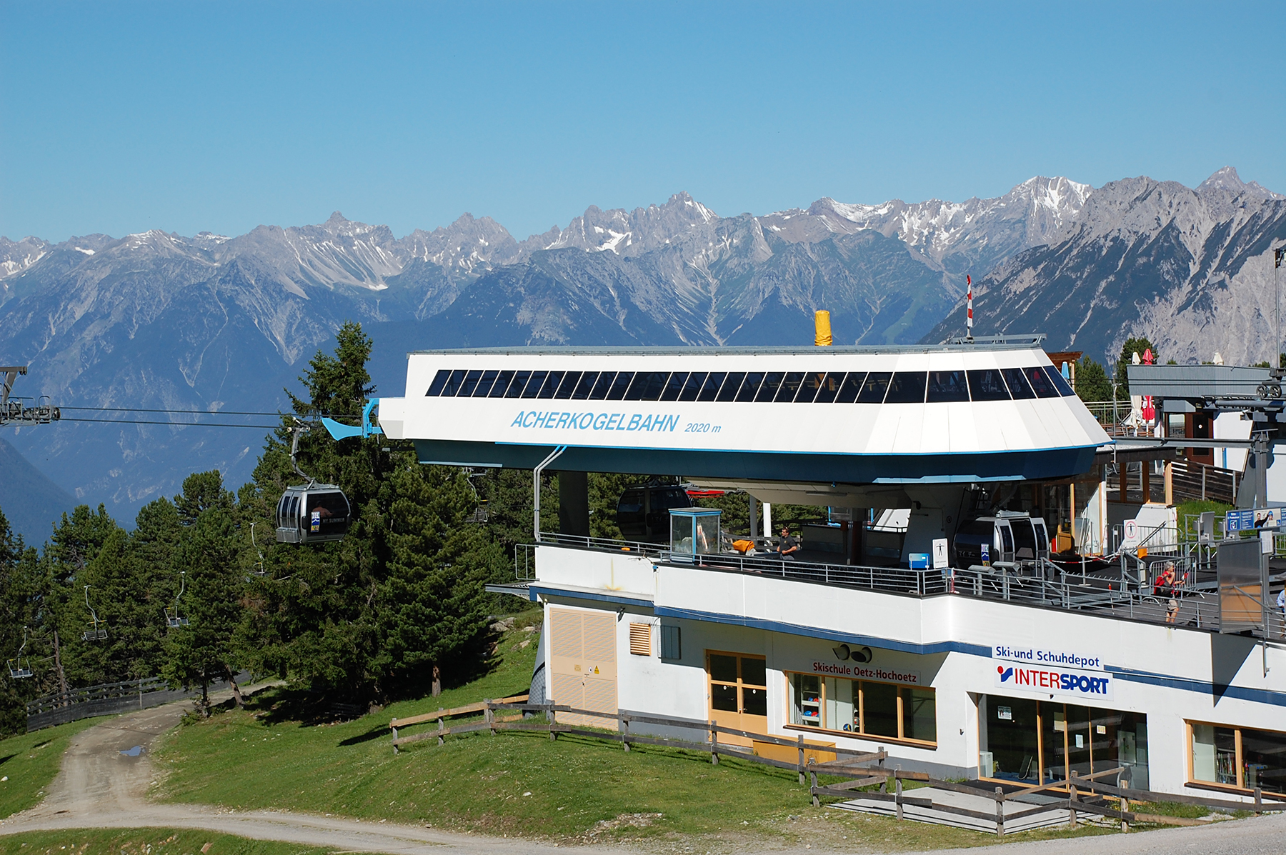
If you use the Acherkogelbahn from Ötz to Hochötz there
are good opportunities to simple (but also demanding)
hiking. | Just close by rises the Acherkogel , the most northern 3000-meter peak in Austria. | The path up to Roßköpfe is very easy. But Robert and me finds another way. |
 |  |  |
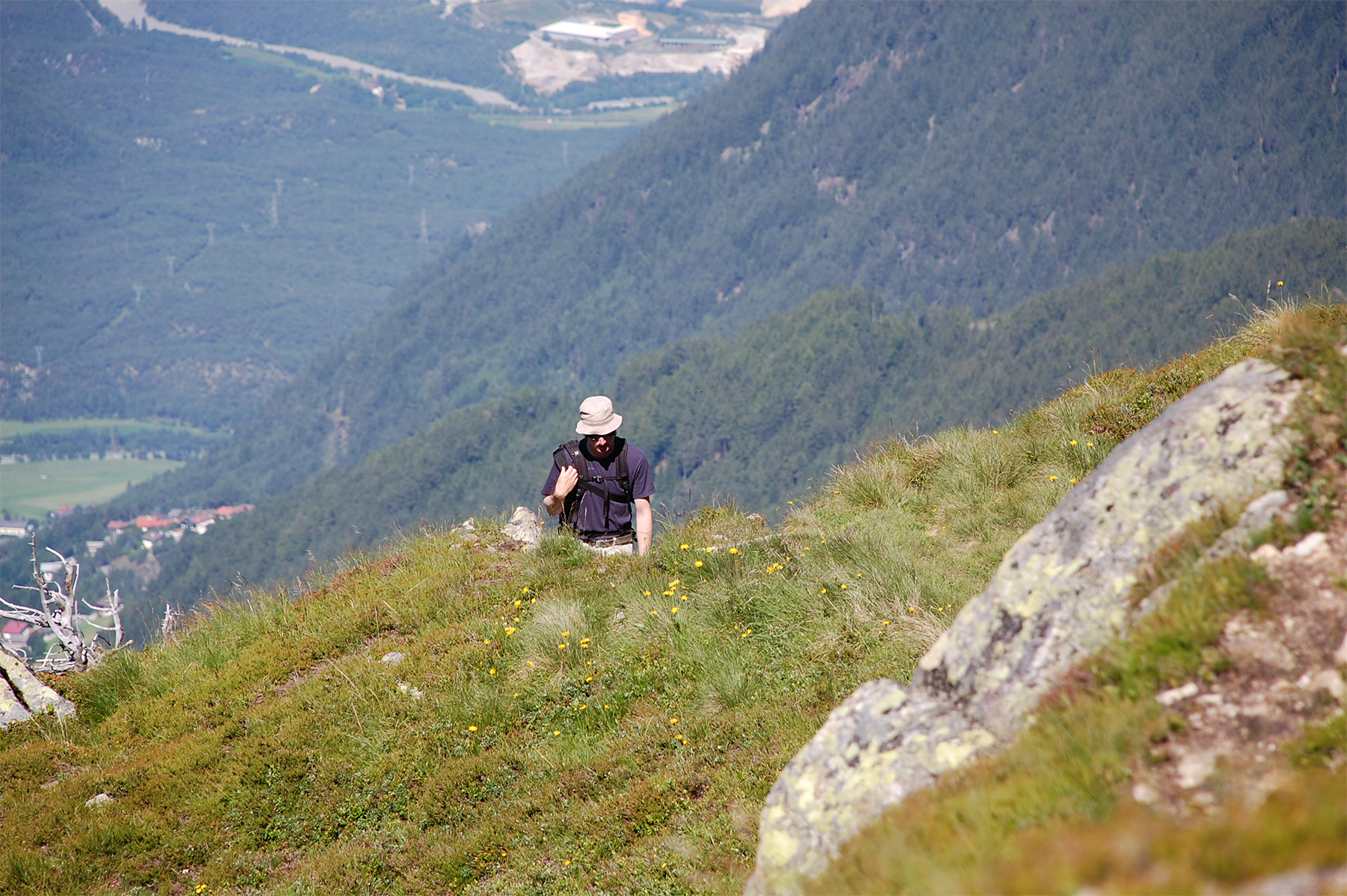
| It is a little steeper, but a lot more fun. | The summit of Roßköpfe is beautiful, but we are aiming
higher and don't stay long. | Our path continues towards Wetterkreuzkogel, just some additional 200 altitude meters. |
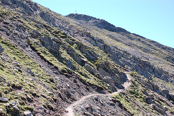 |  |  |
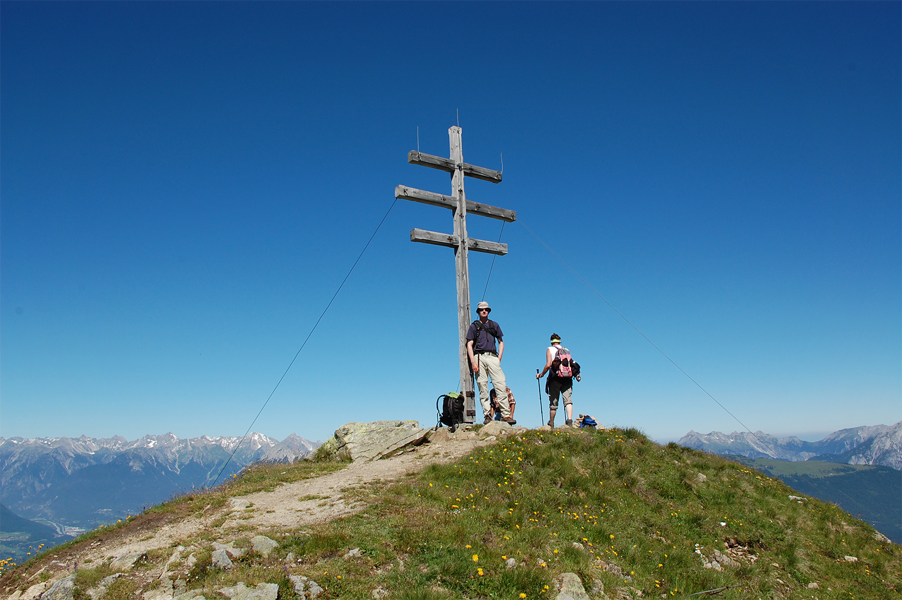
Even here the path is quite simple, therefore attracting a
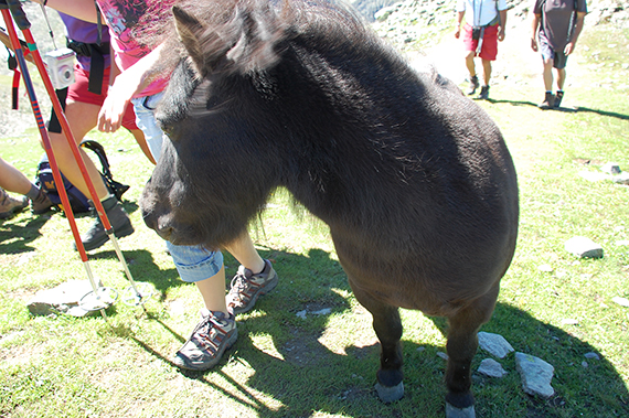
lot of tourists. | The welcoming comittee on Wetterkreuzskogel. This guy
was very curious on what I had in my backpack. Eventually
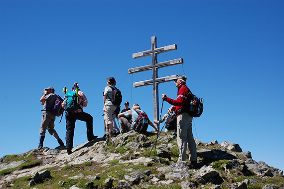
he got a bisquit. | The summit of Wetterkreuzkogel, 2591m. Plenty of tourists, as I mentioned earlier. |
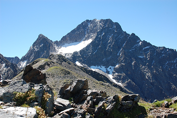 | 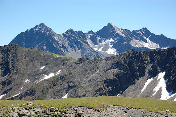 |  |
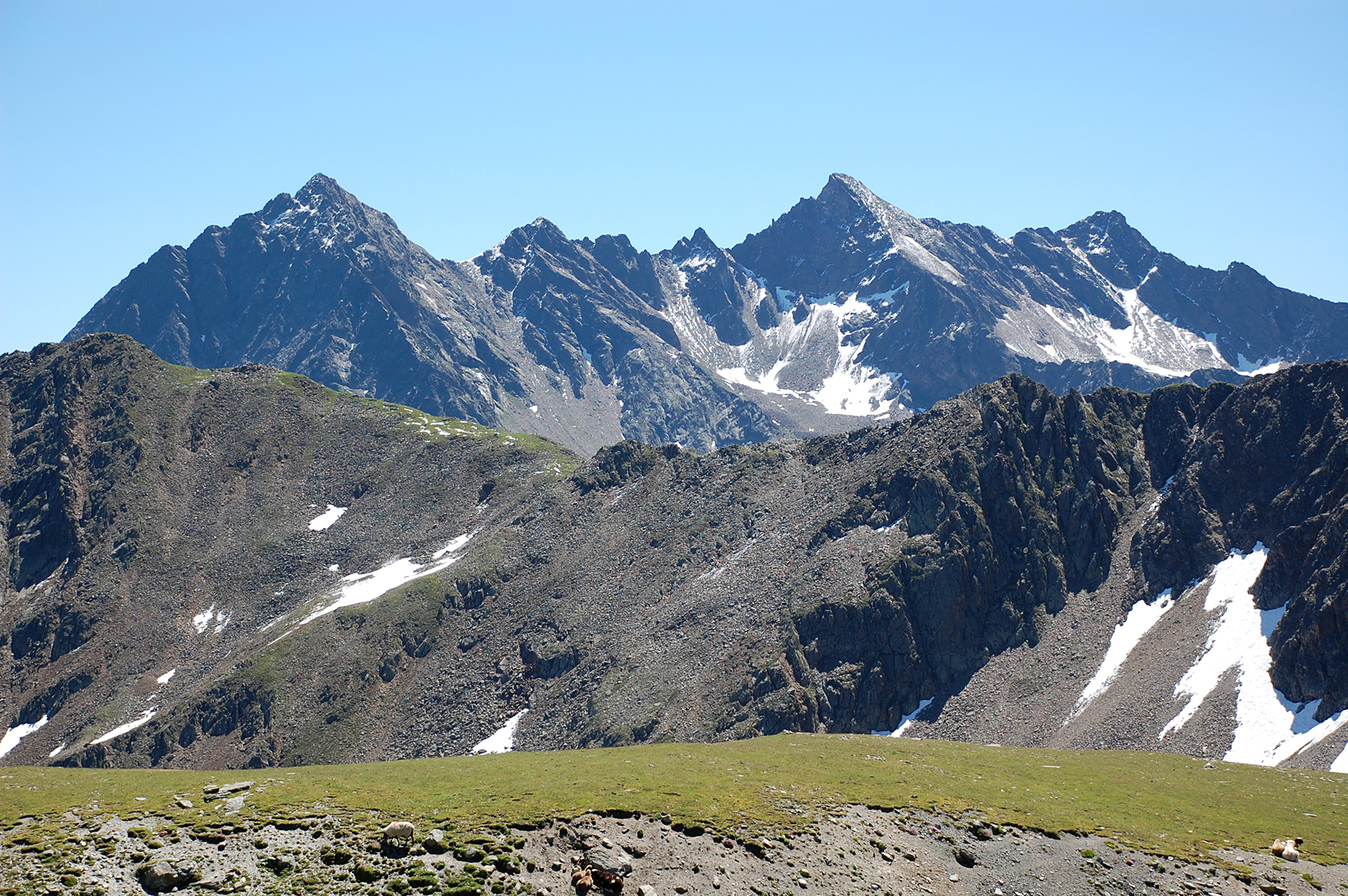
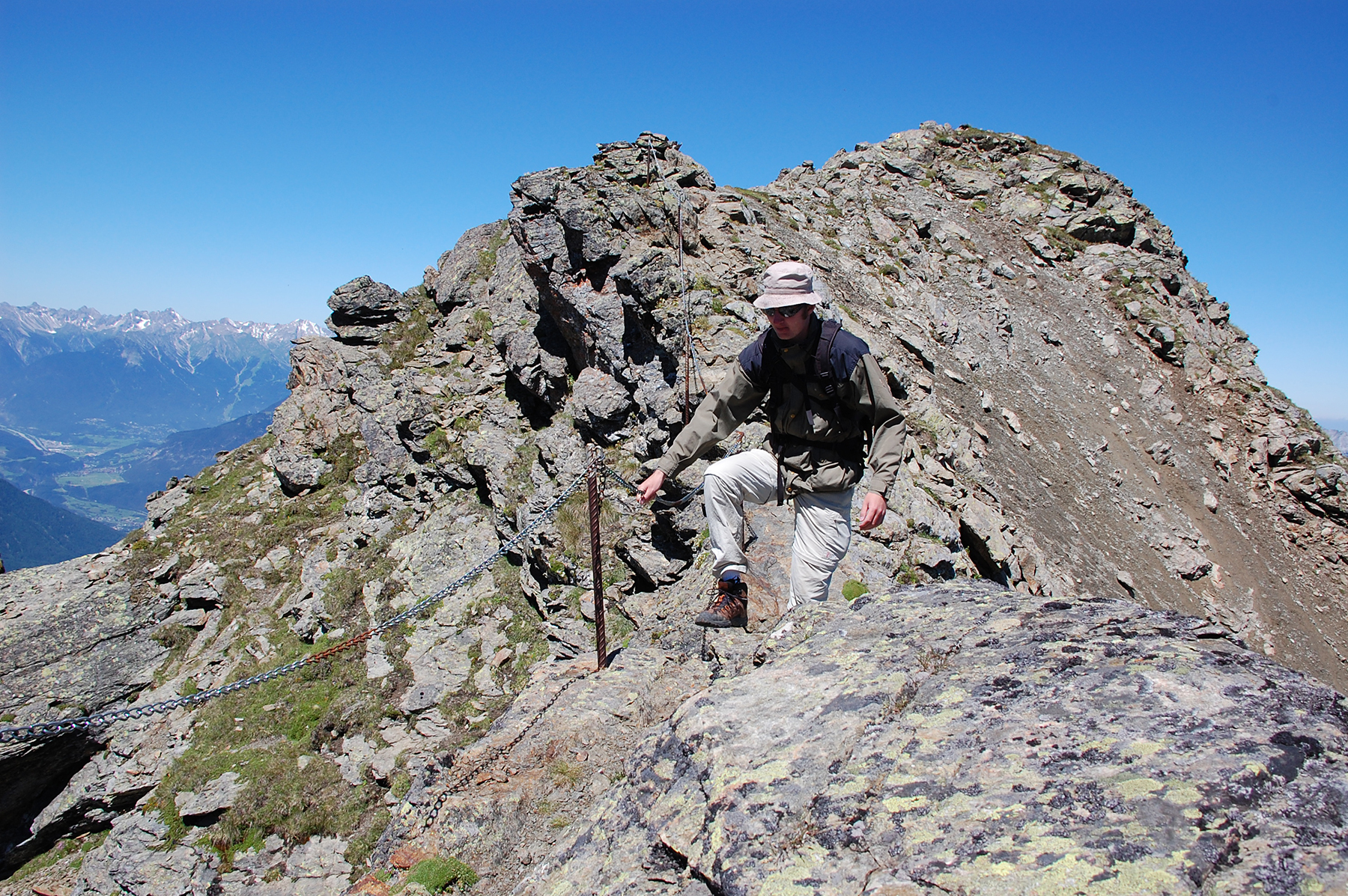
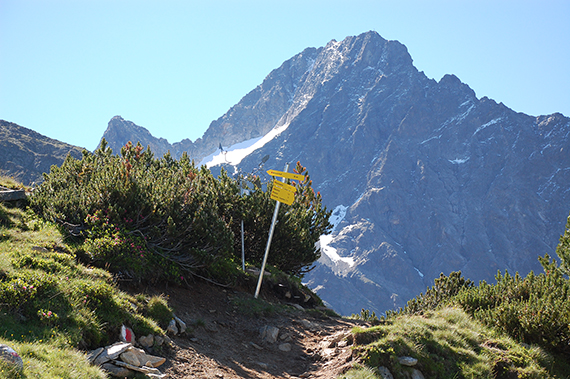
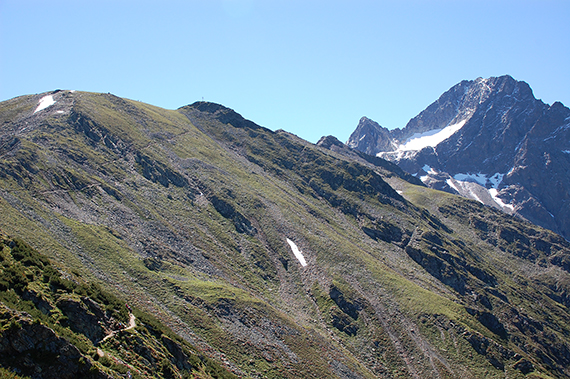
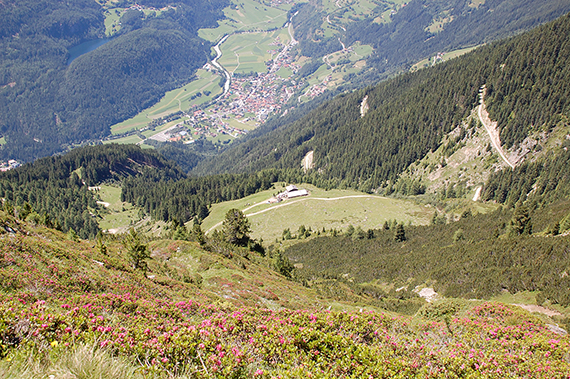
But we are continuing in the direction of Acherkogel, over
Große Windegg and Mittertaler Scharte. This path is
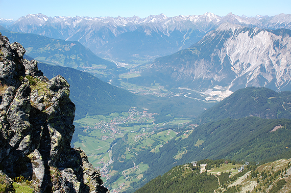
black = almost no tourists. | A bit to the right of the middle is Sulzkogel, 3016m, which I climbed two years ago. | A view down into The Ötztal. |
 | 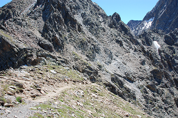 |  |
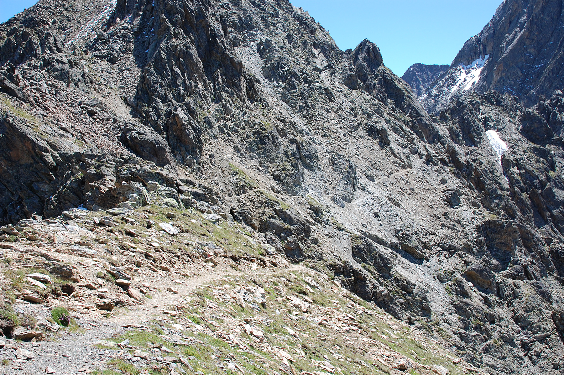
The passage of Große Windegg is made easier by metal
chains, making it quite smooth. | Continuing to Mittertaler Scharte. After that there is a
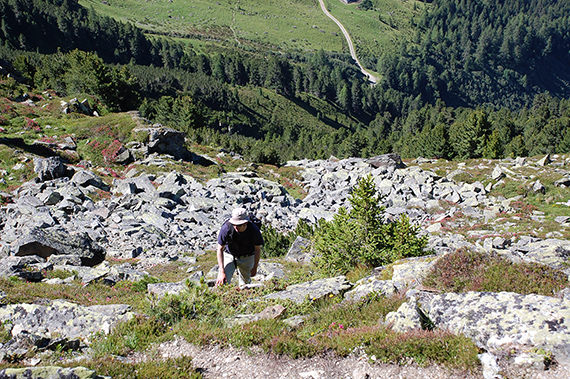
relatively steep path down, but without wires. | Back into the green on lower altitude, on the way back to the lift station. In the valley you can see Ötz. |