 |  |  |
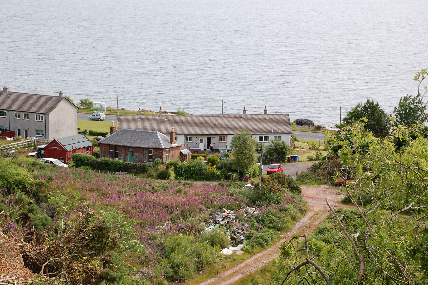
Starting from Corrie, some 5 km north of Brodick. Here
you can spot seals in the water if your'e lucky. This very
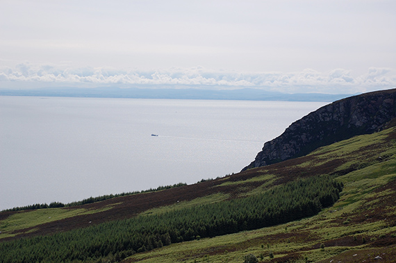
day people have even seen whales. | The ferry leaves Brodick for Ardrossan on the mainland.
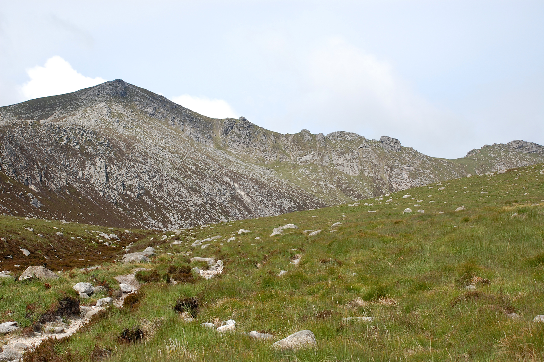
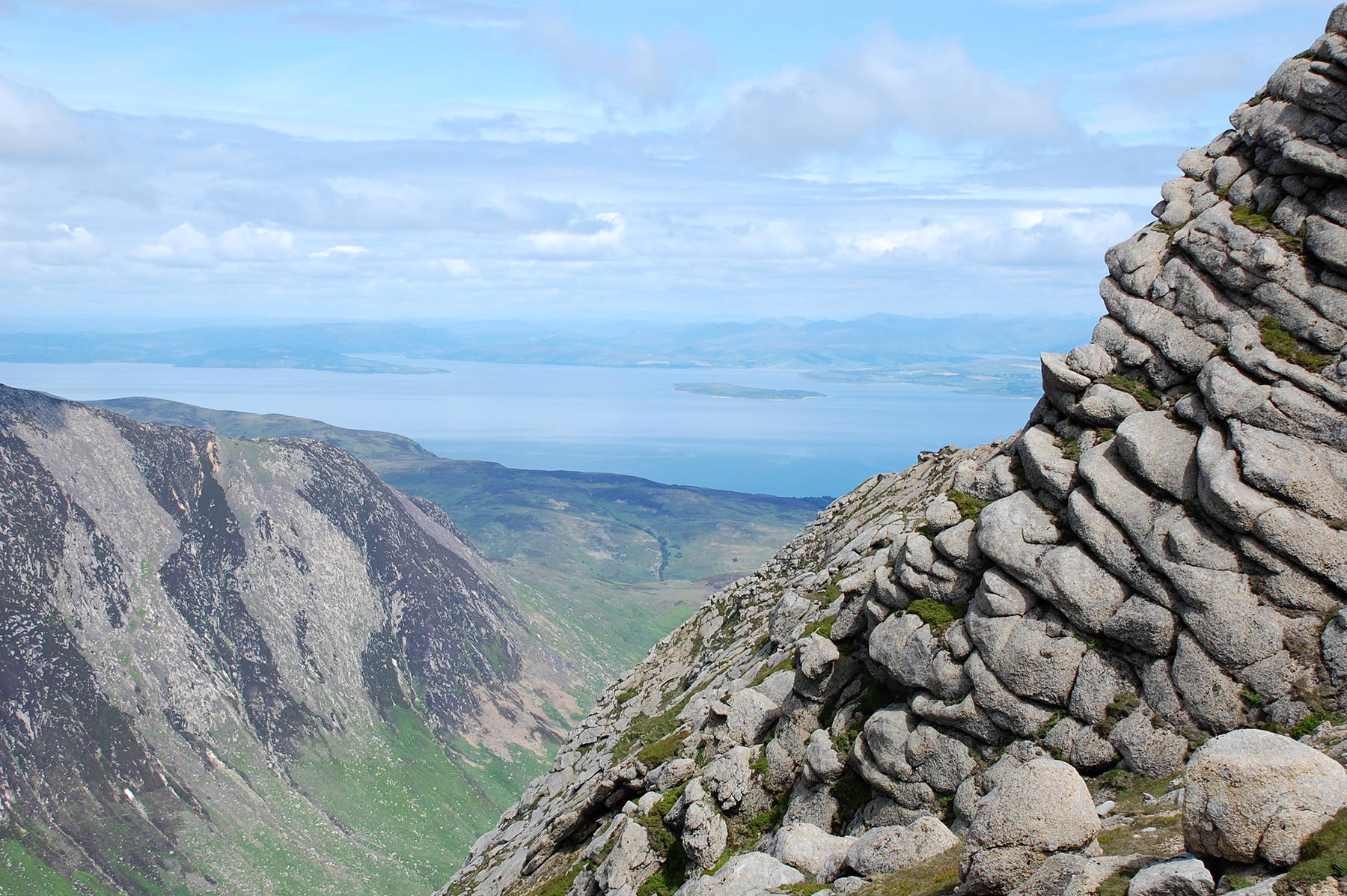
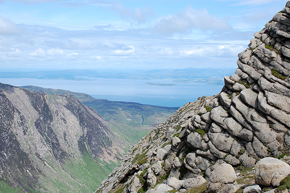
Here from 300m altitude. | In the other direction is Goatfell, 874m, now visible to the left and North Goatfell, 818m, to the right. |
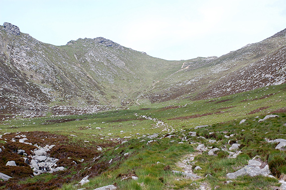 |  |  |
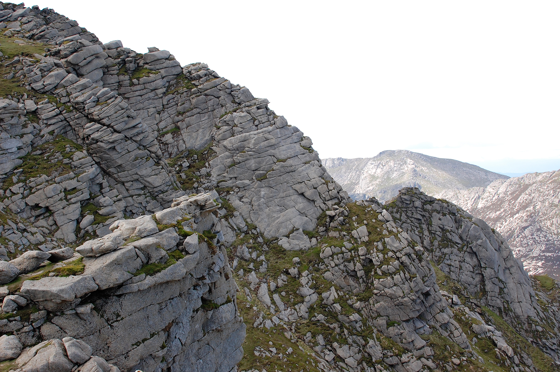
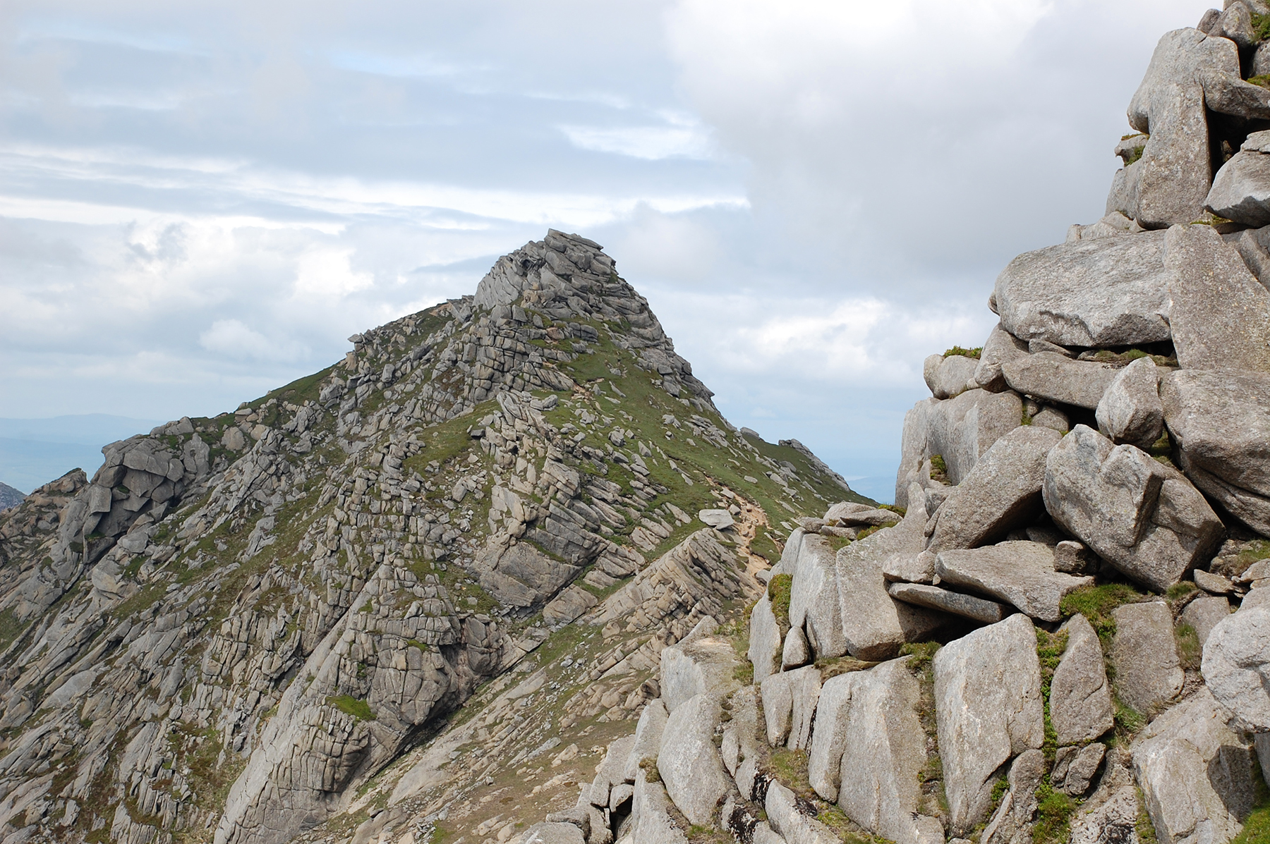
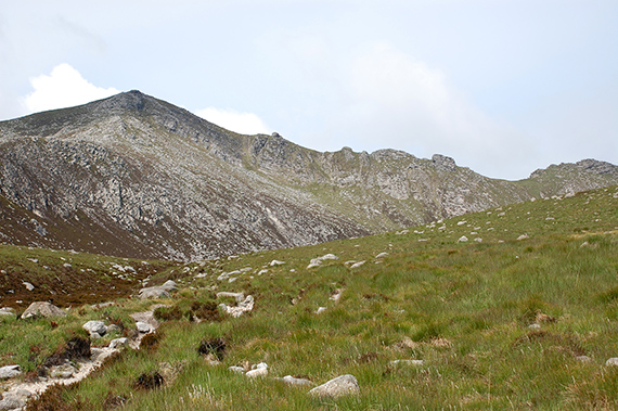
I choose the path leading to a saddlepoint between North
Goatfell and Mullach Buidhe, 819m. | It's up here, on some 750m, you get a "moonlandshape"
of rectangular rock formations. | Cir Mhor, 799m to the left and Casteal Abhail, 859m to the right. |
 |  |  |
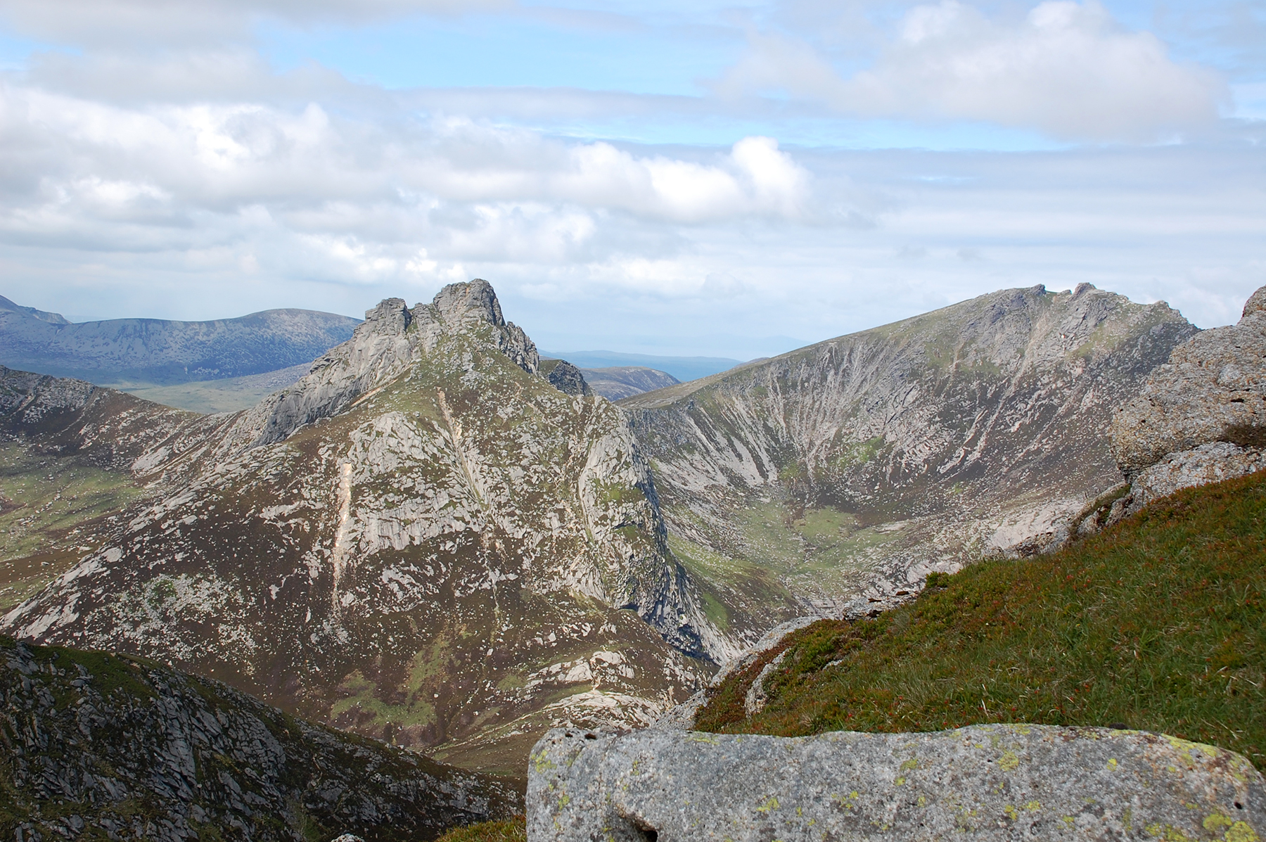
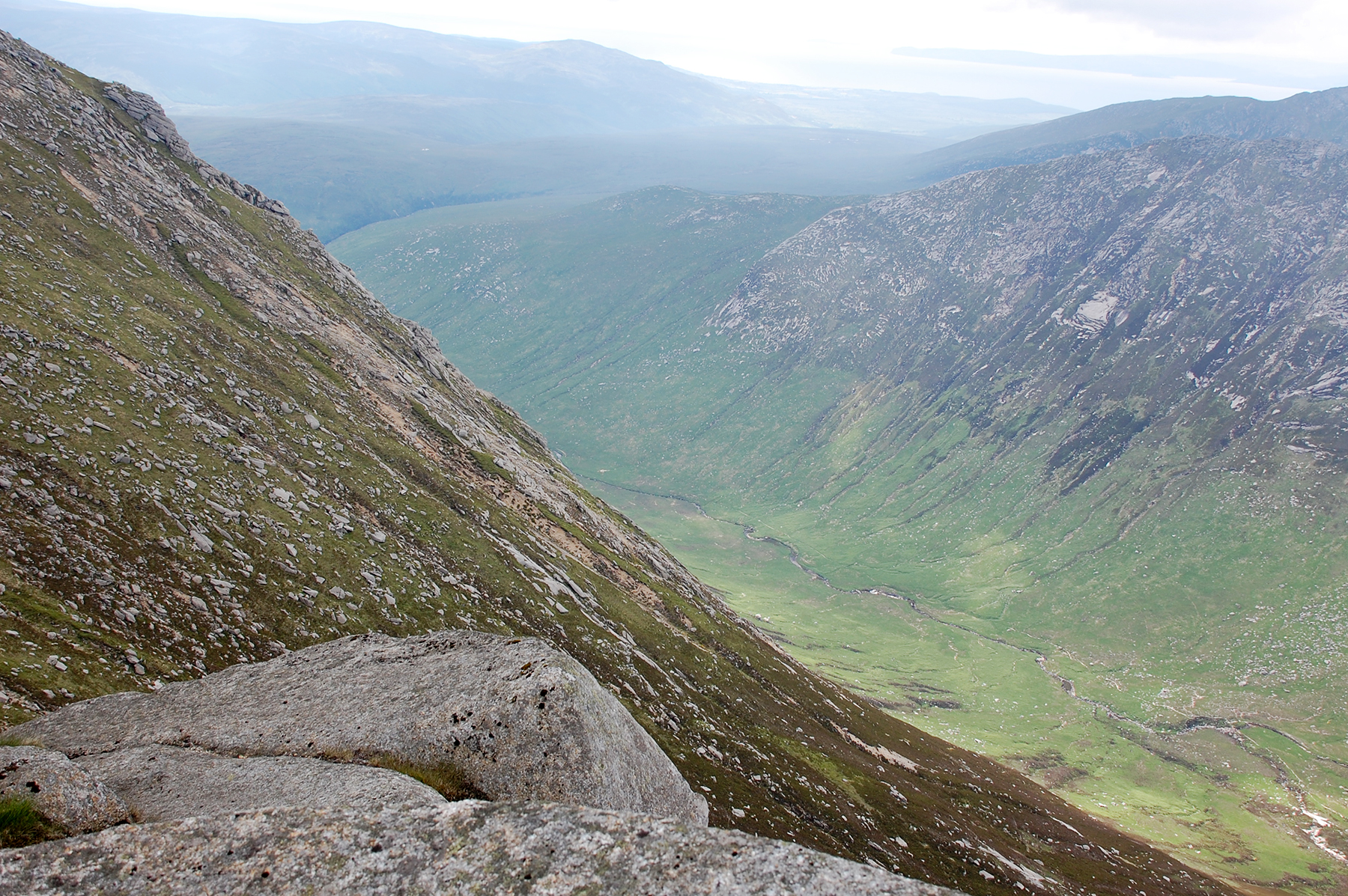
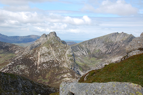
A look down the Glen Sannox valley, leading northeast to
the sea. | To the south the Glen Rosa valley leads out of the mountains. | An
unnamed peak on my map, 834m logged on the gps, between the saddlepoint
and Mullach Buidhe. Here it's visible from the way to North Goatfell. |
 |  |
|
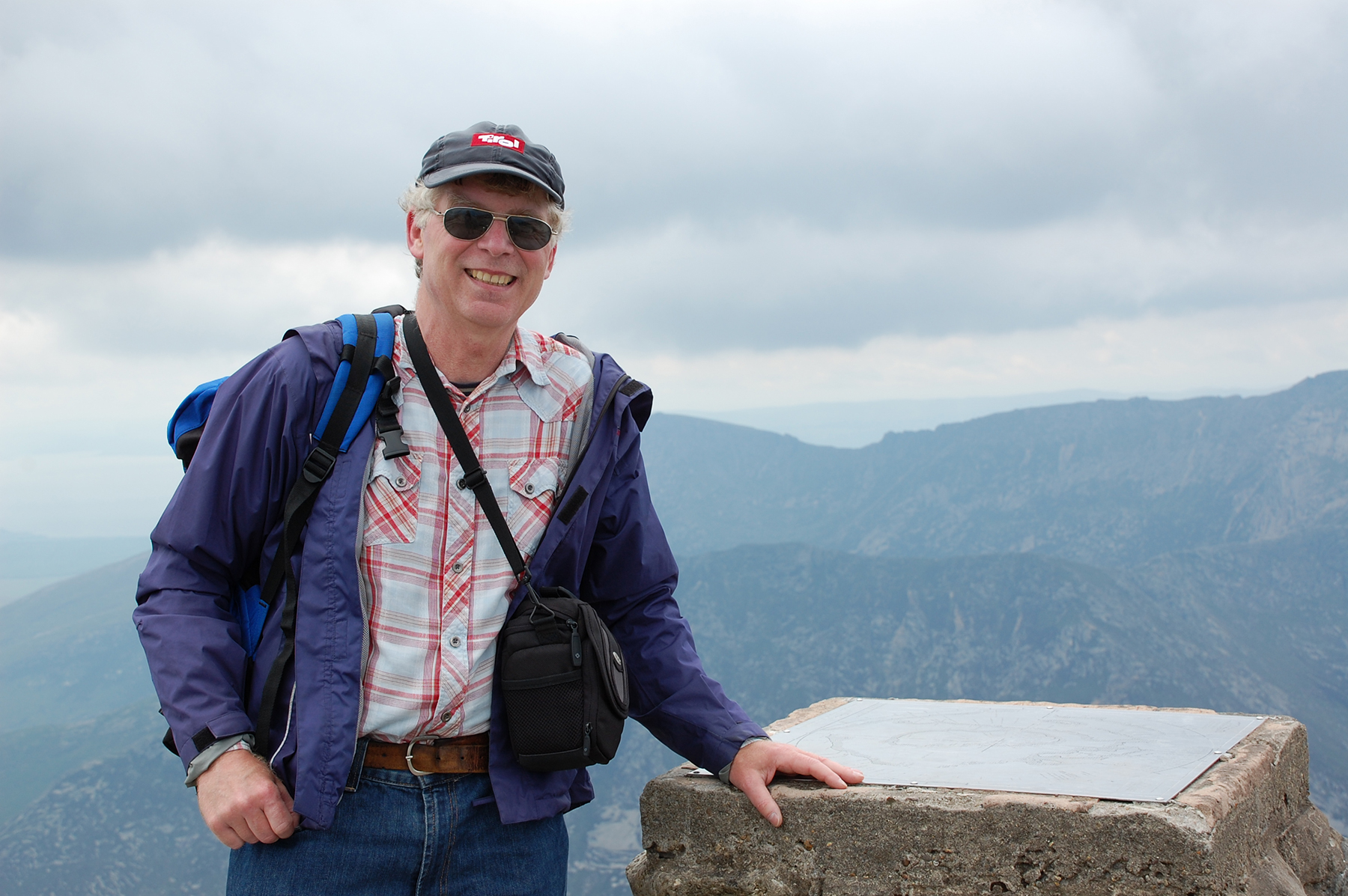
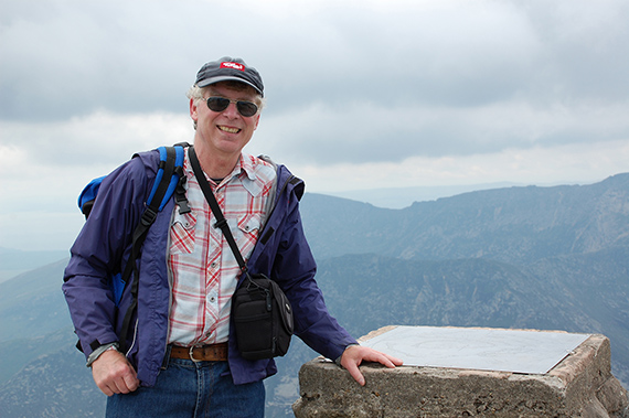
The man himself, on the main summit of Goatfell. You
could see Northern Ireland one hour before I came up,
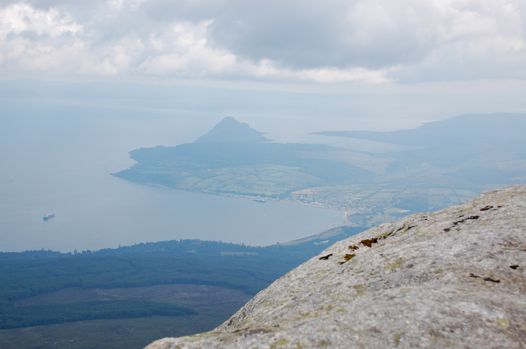
but now the visibility has declined in that direction. | Brodick Bay with Brodick. More in the background you can see Lamlash Bay and Holy Island. |
|