 |  |  |
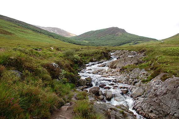
Start from North Sannox, along the road between Sannox
and Lochranza. To begin with you follow a stream, with
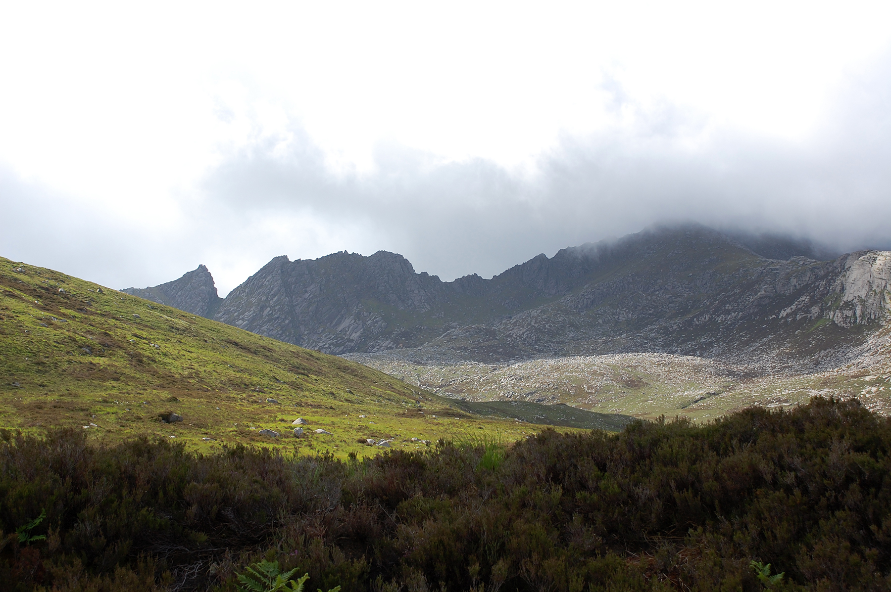
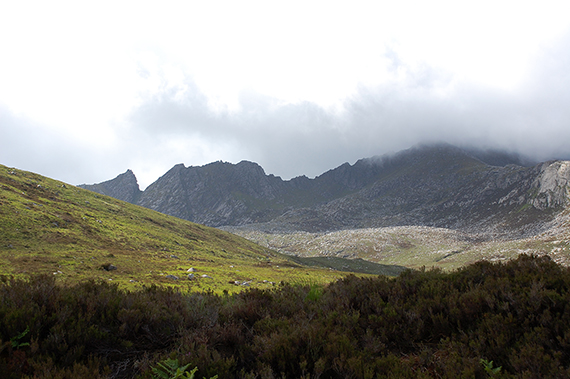
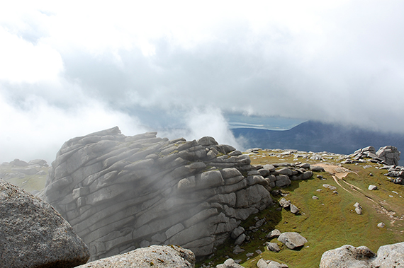
rapids and waterfalls. | After a few km and 200 altitude meters Casteal Abhail is visible, here to the right in clouds. To the left is "Witches
step". | Eventually I leave the path and follow some deertrails, hoping to find the path again further on. Cimb up on a ridge at almost 600m. Here a view to the northeast. |
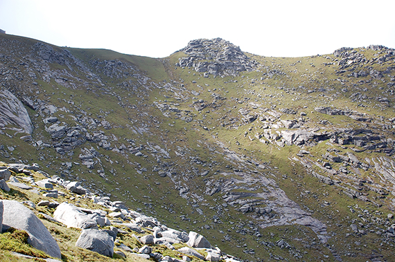 |  |  |
It can be a good thing to look at the map sometimes. After
finally picking it up I realize I have chosen the wrong ridge.
This mistake actually means I get a shorter way. I walk up
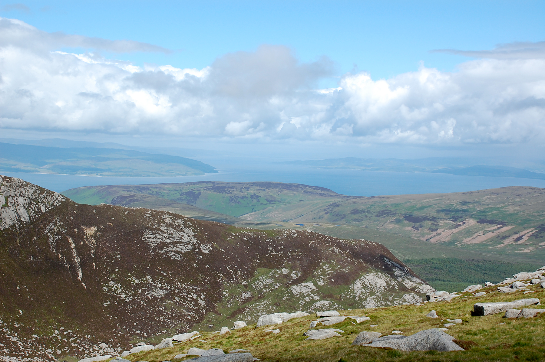
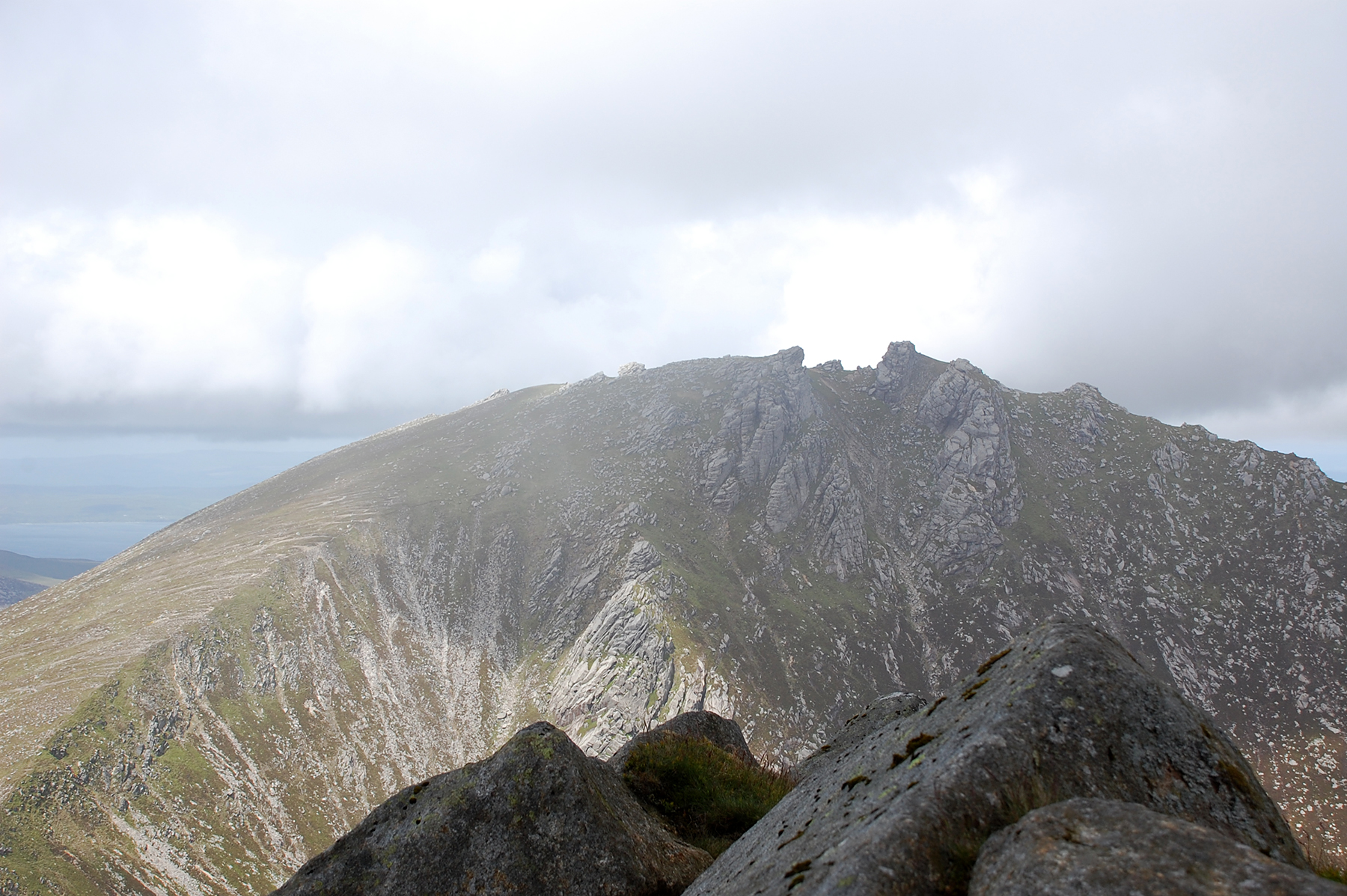
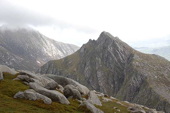
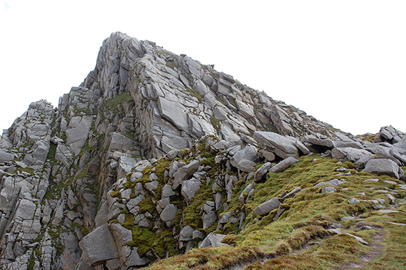
towards Casteal Abhail on this slope. | Cir Mhor, seen from Casteal Abhail, an impressive sight.
To the left is Goatfell, now in clouds. | The
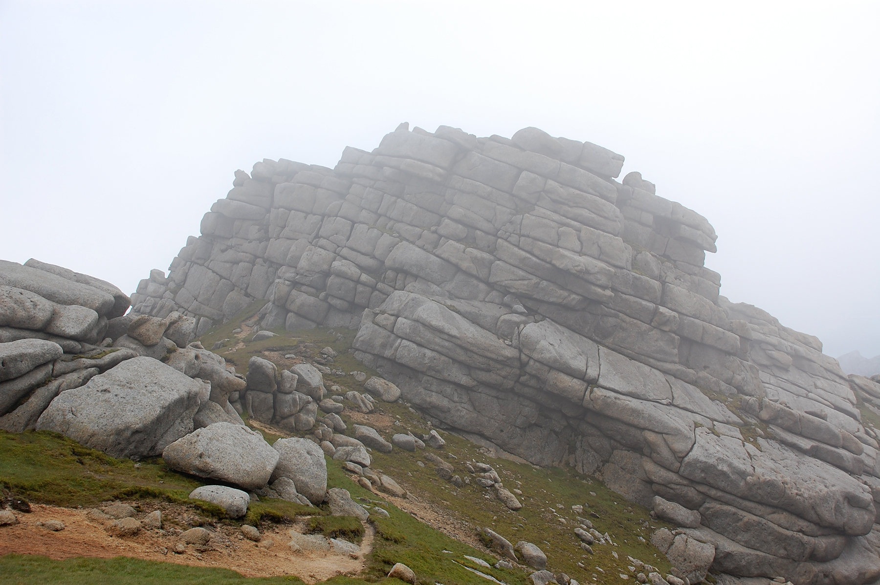
peak of Casteal Abhail. The simpliest way is to walk around and up from
the back. On this side there is around 10m of almost vertical climb. |
 |  | 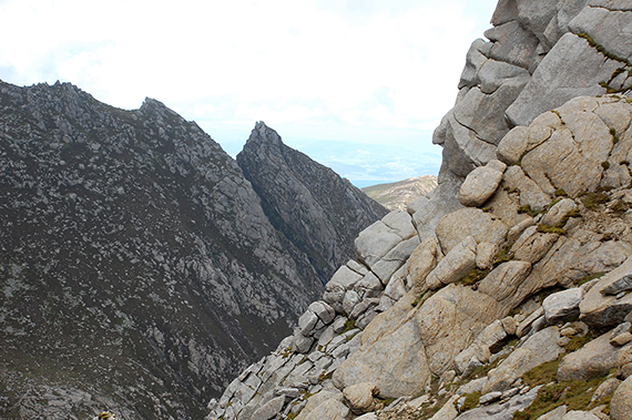 |
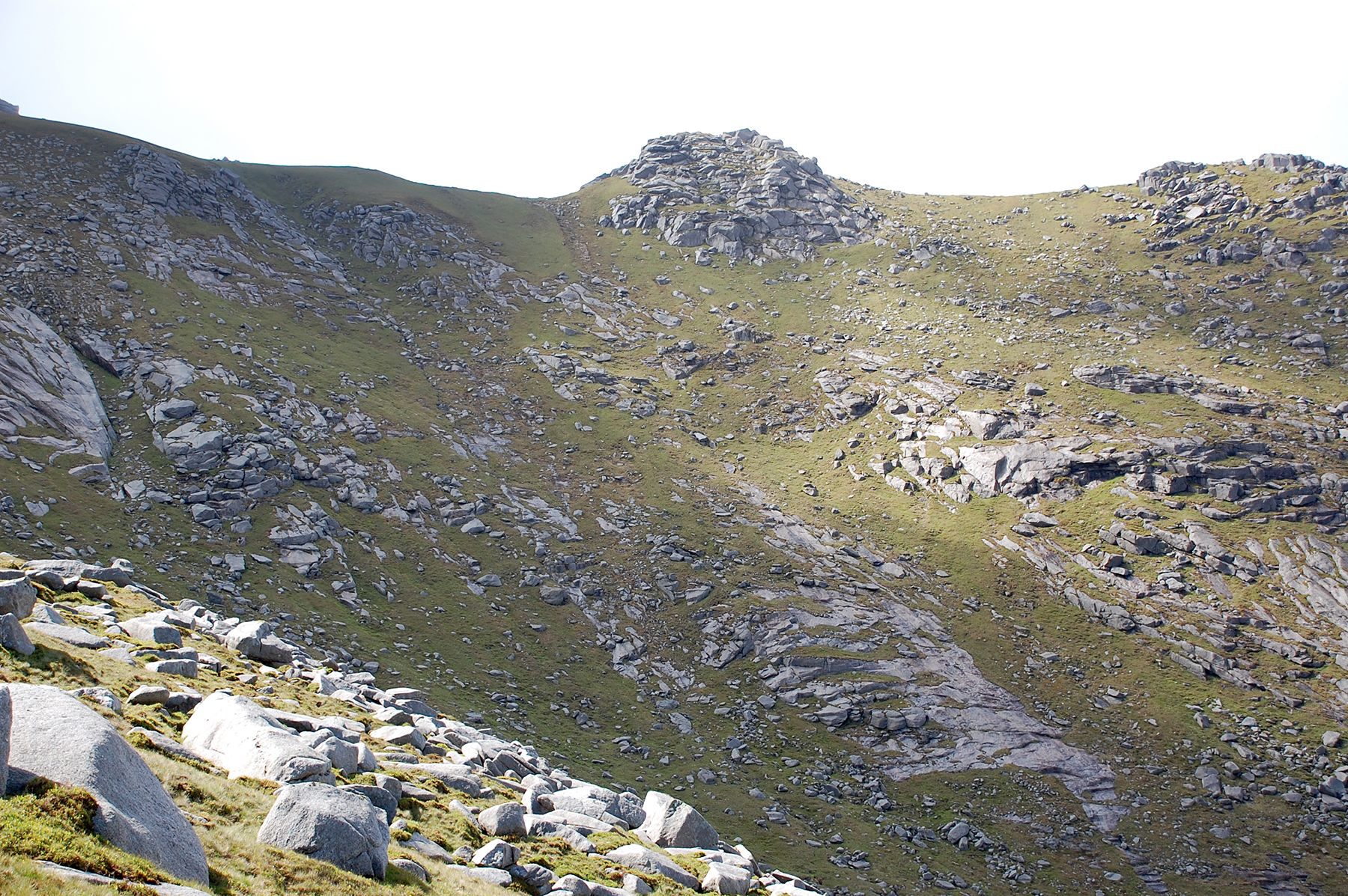
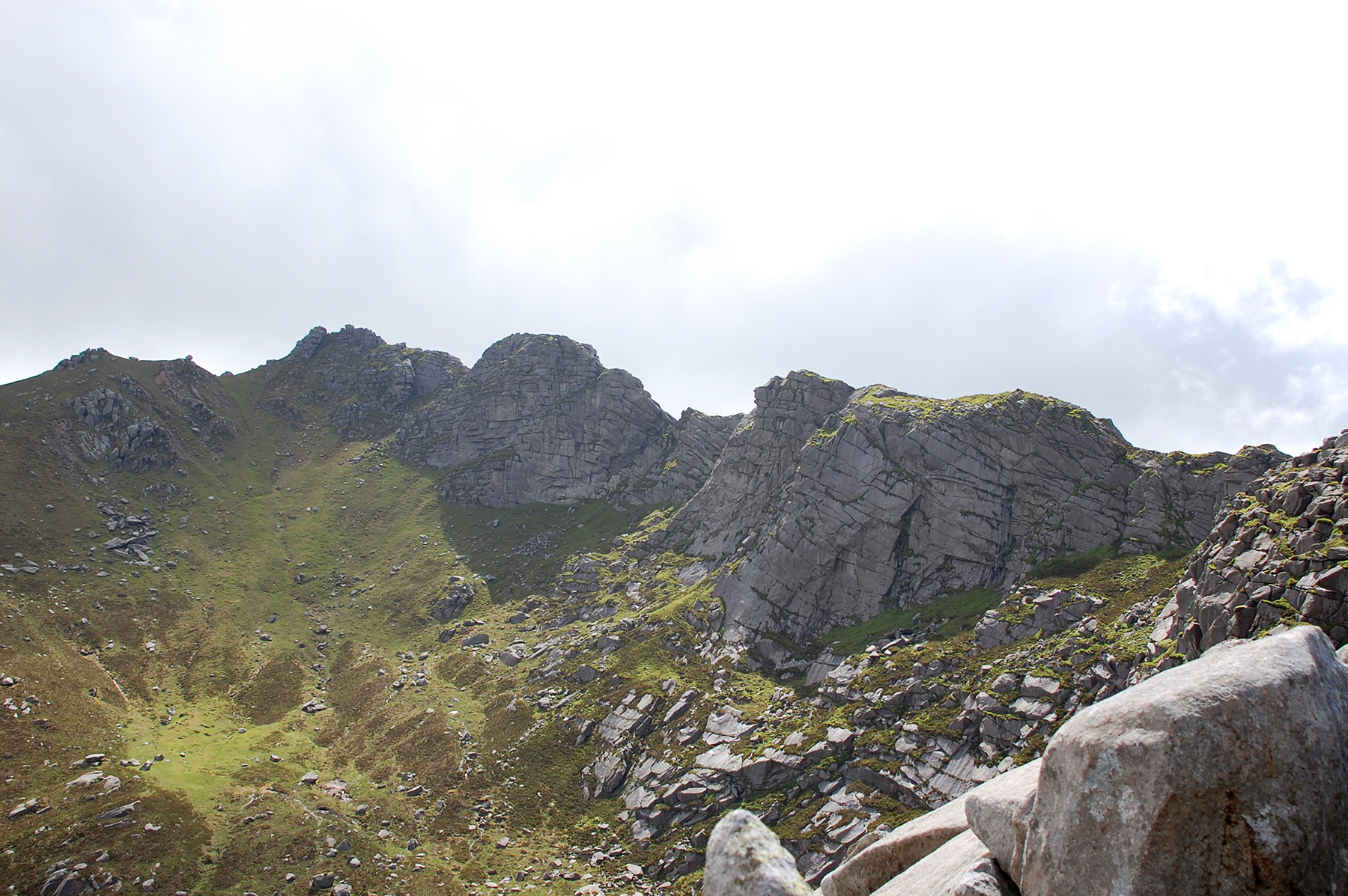
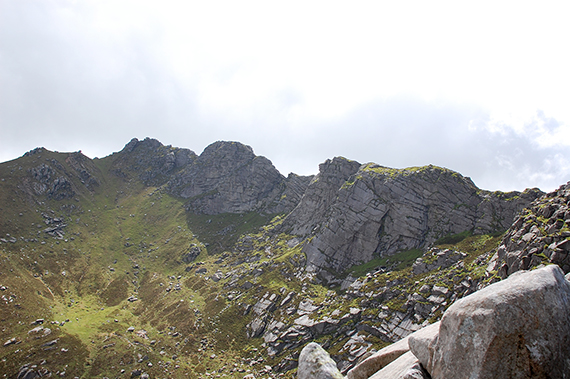
| "Moonlandscape" from the peak of Casteal Abhail. | Between the peaks, going for Cir Mhor. | Witches step, seen from the slopes up towards Cir Mhor. |
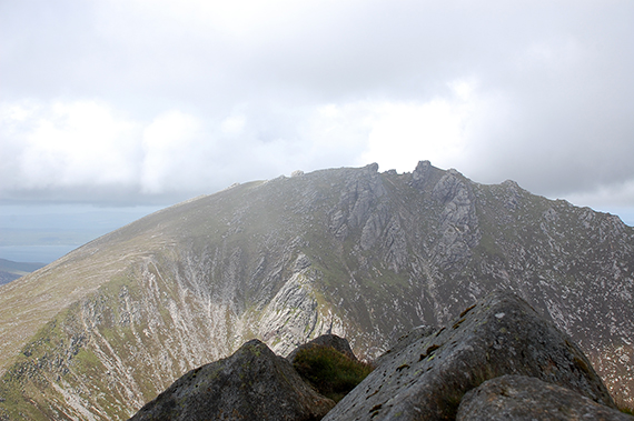 |  |  |
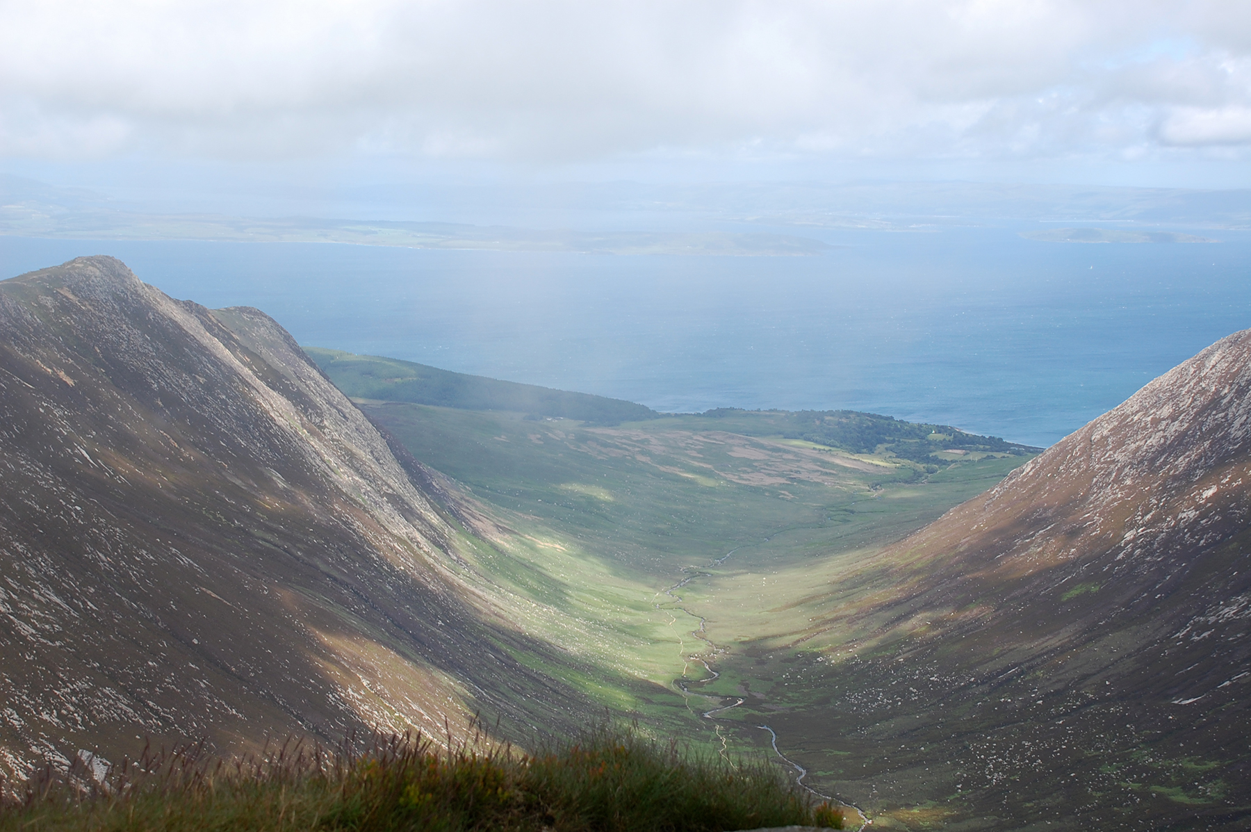
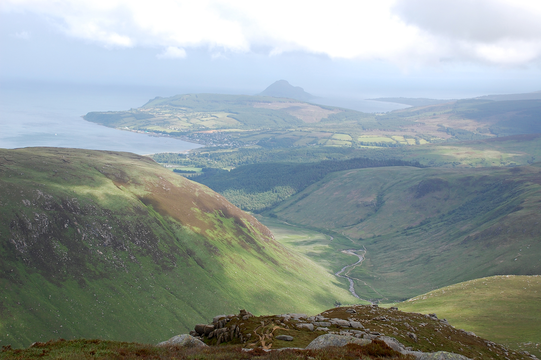
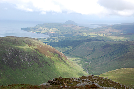
| A look back on Casteal Abhail from the top of Cir Mhor. | Glen Sannox, seen from the top of Cir Mhor. | After
Cir Mhor my path leads to the rocky ridge A'Chir, which can be passed
by a trail just below. When passing over these rocks climbing equipment
should be used. |
 |
|
|
First I planned to climb Beinn Tarsuinn as well, but due to
clouds and very strong winds (not to mention tired legs) I
choose the lower Beinn a' Chliabhain instead. From there
the path leads down to the Glen Rosa valley, close to
Brodick |
|
|