| 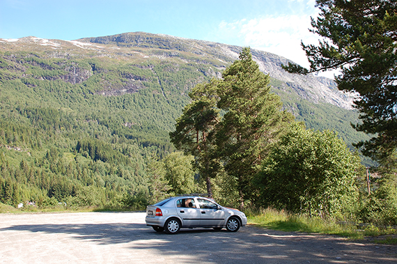 |  |
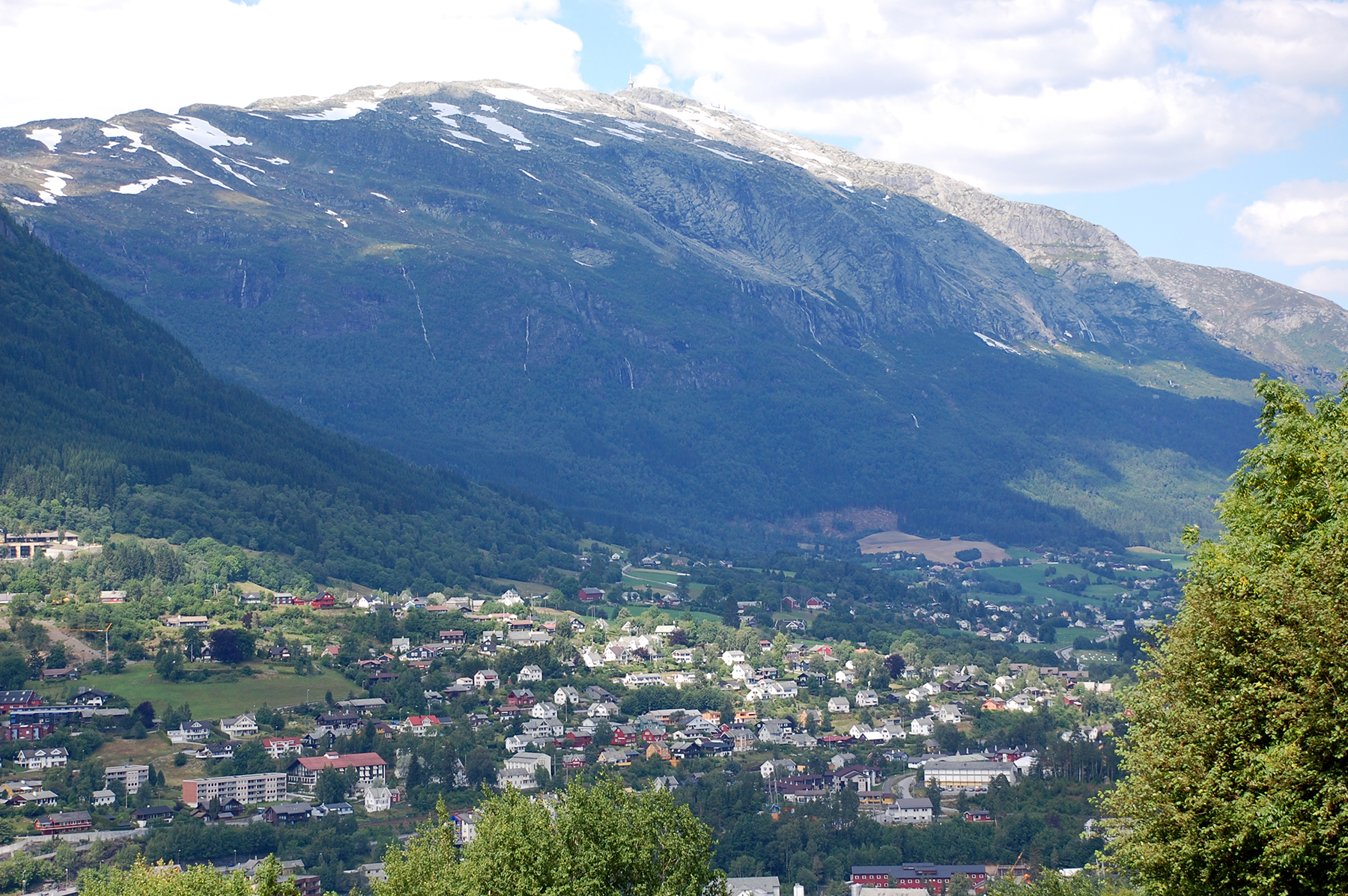
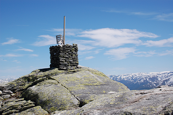
| Lønahorgi, with its caracteristic mast, rises over Voss. | The car is parked on Bavallen, on about 300m altitude. | First you walk through the forest, here are some parts ov Voss from 600m. |
 |  |  |
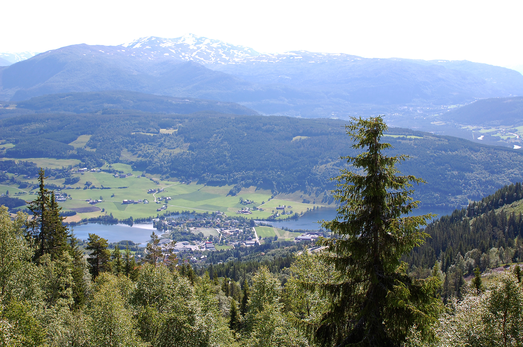
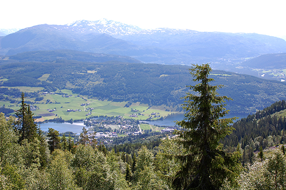
Hangur, Voss "own mountain" has many skislopes. Here
it's seen from almost 1000m. | The road is wide and easily walked up to 1100m altitude
(even if you can choose some smaller shortcuts here and there). The marking is good with red T:s, as always on Norwegian trails. | Along the trail you get a good view down to Dale. |
 |  |  |
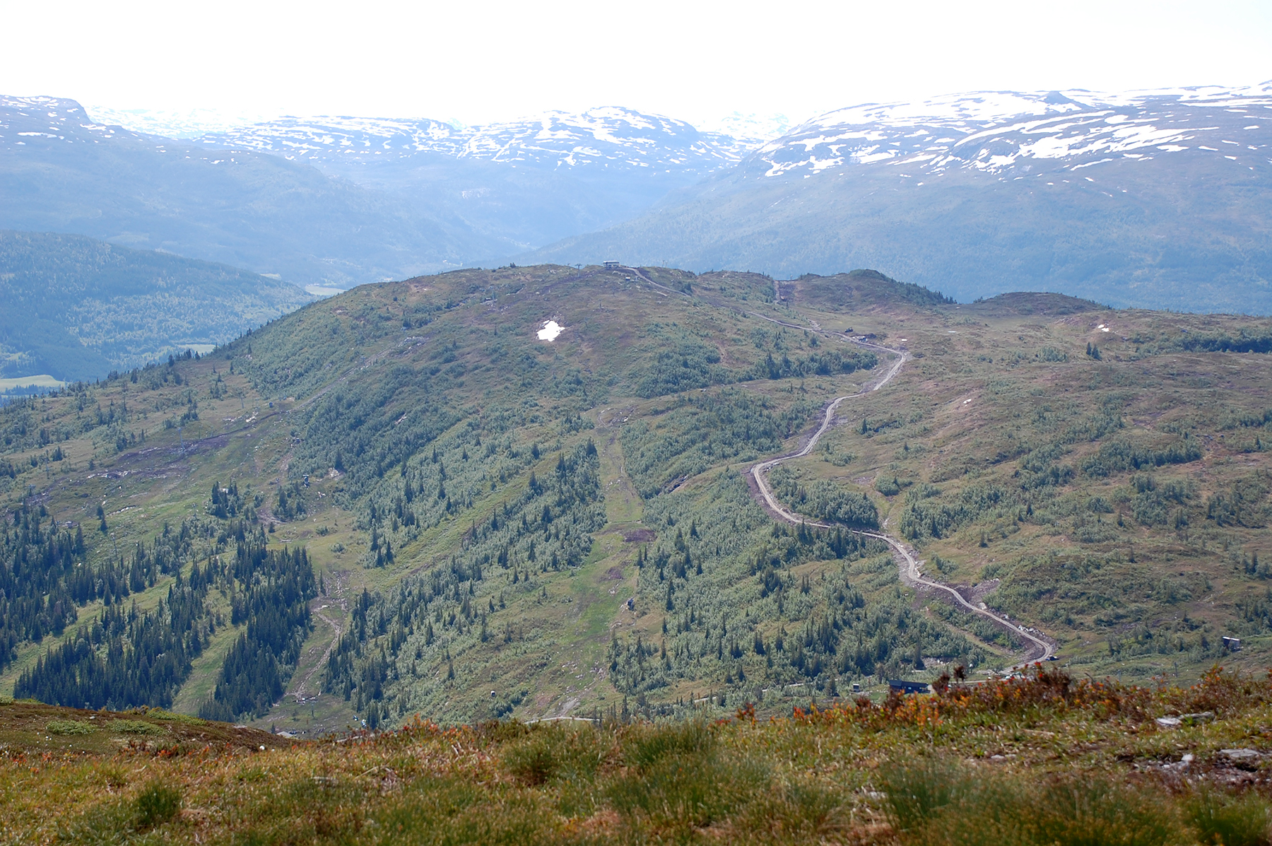
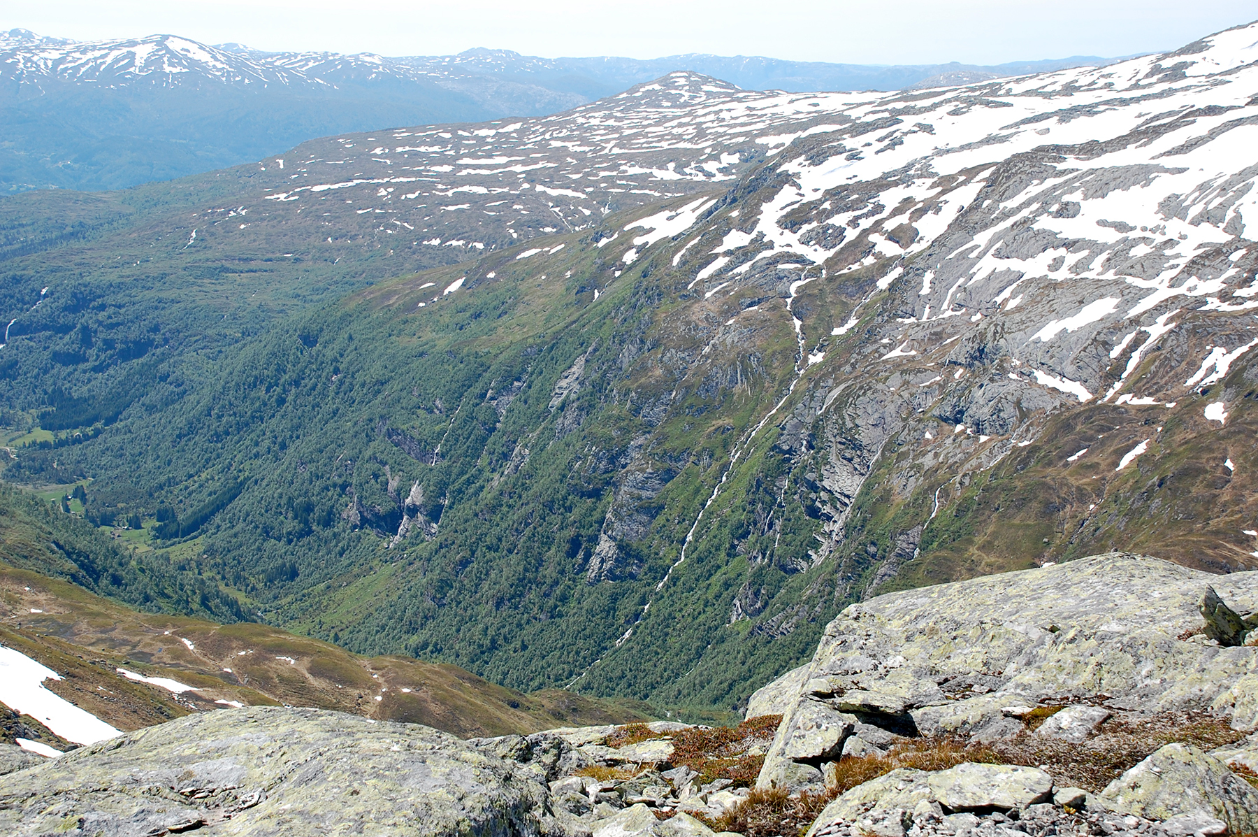
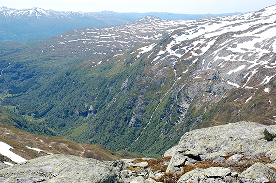
From about 1200m there are a couple of timeconsuming
km to the top. I need about one hour to pass all rocks up
and down. Not much of a path here, but the red markings
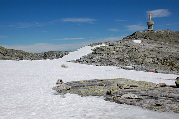
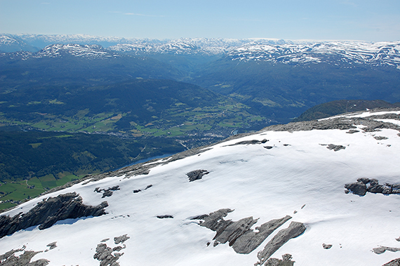
are easy to follow. | A part of Voss visible in the valley. To the right, in the background is Hardangerjökulen. | The summit cairn on 1410m, just beside the mast. |
 |  |
|
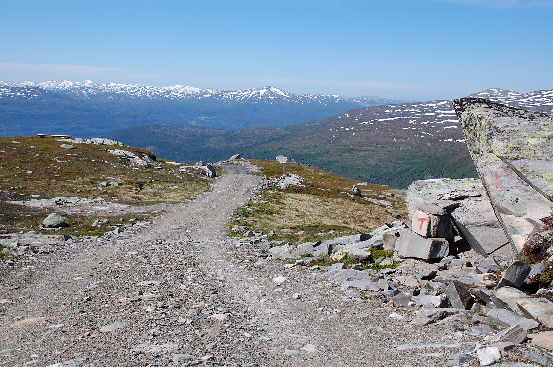
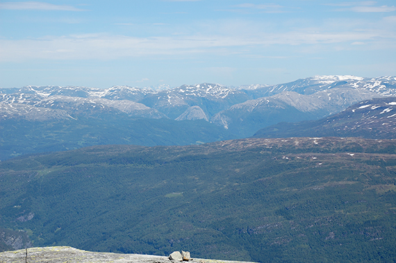
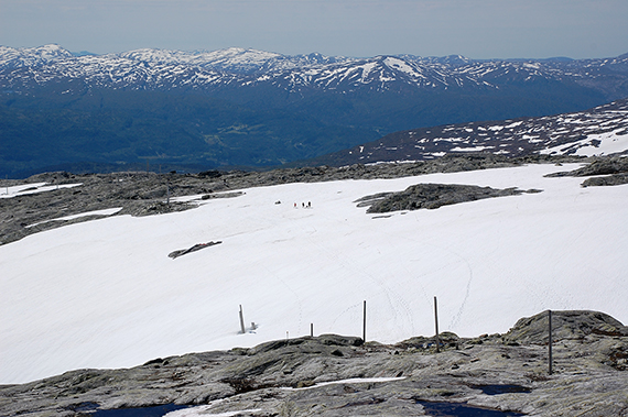
I believe it's Jordalsnuten, where I was last year, visible like
a "sugar loaf mountain" in the middle. Behind, a little to the
left, parts of Jotunheimen can be seen. | A group on the way up over the snowfield. |
|