|
|
 |
Brunnsteinspitze
and Rotwandlspitze is the mountain to
the right in the picture. Here is the
starting point for me.
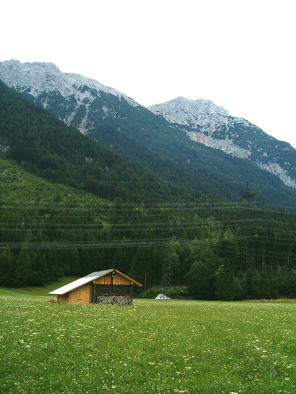
The valley is on 900 m altitude.
|
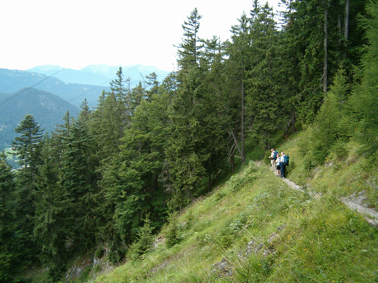
On
1300 m, or 400 m over the
valley. Nice views. |
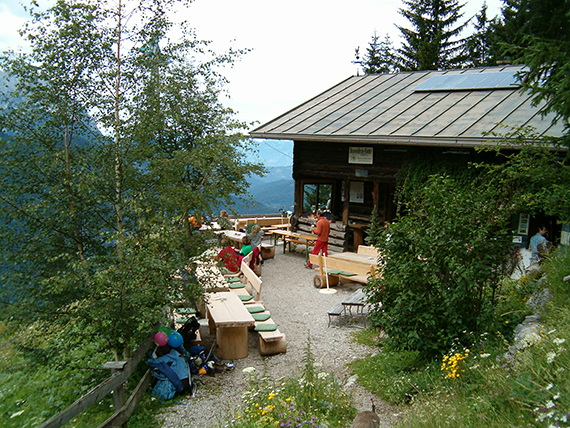
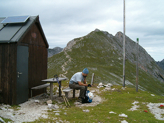
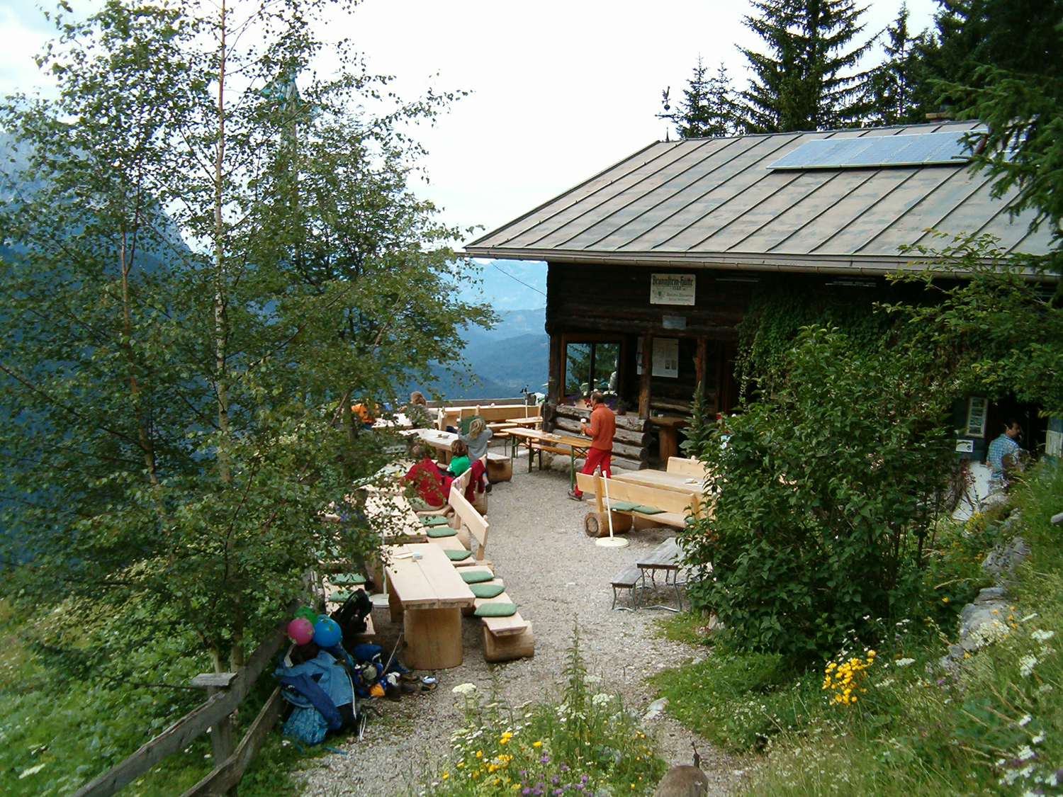
At
Brunnsteinhütte on 1520 m altitude. Time for a pause and
something to eat.
|
|
|
|
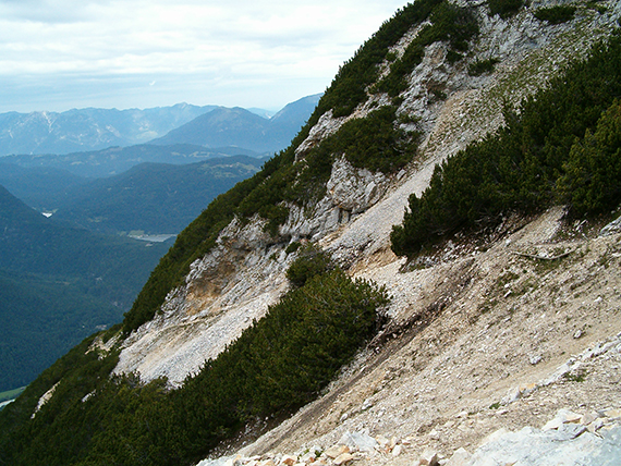
| Continuing
upwards, on about 1800m. |
Now almost 2100m. |
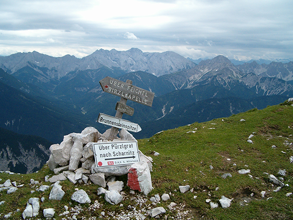
At
Tirolerhütte on 2140 m after
about 4 hours. Only 50 altitude meters left to the first peak,
Rotwandlspitze.
|

|

|
|
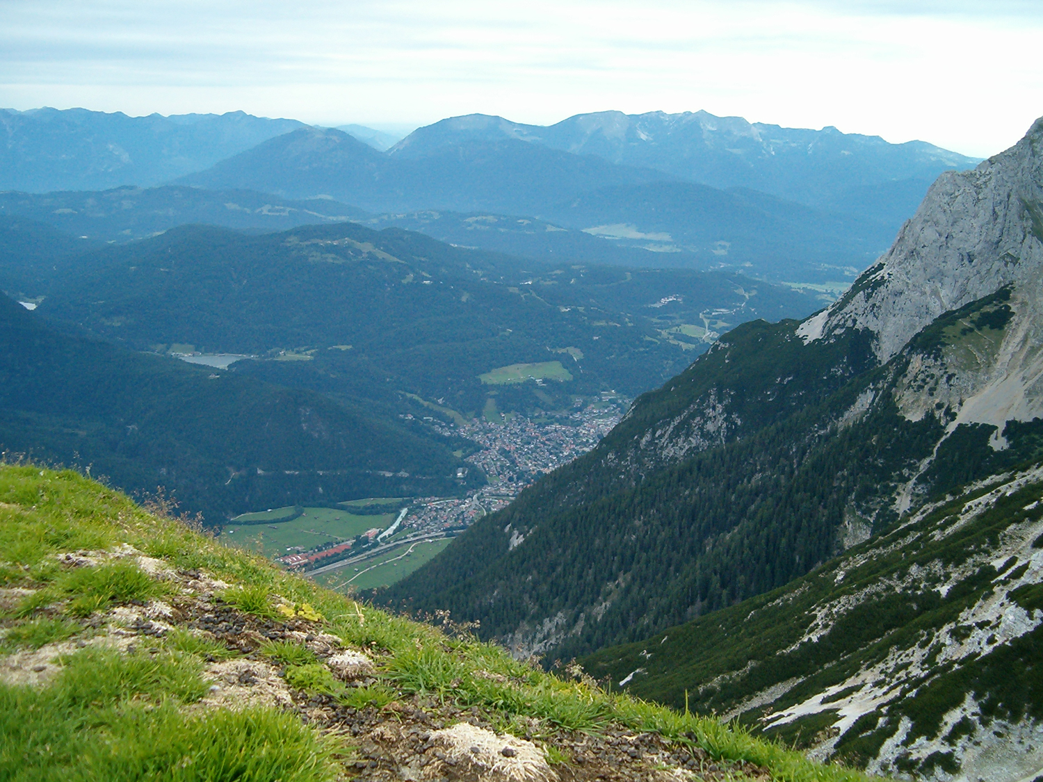
A wiew back to where I came from. In the
valley you can
see the town Mittenwald. |
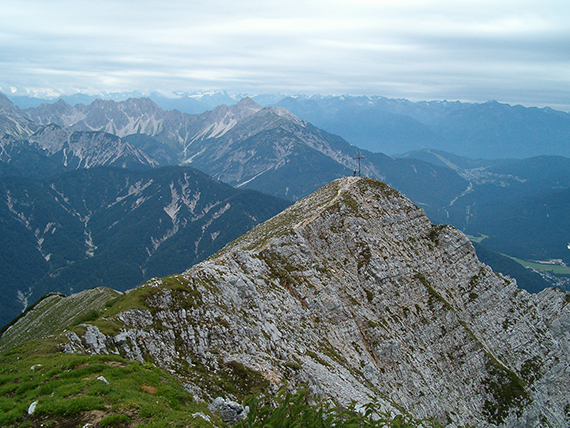
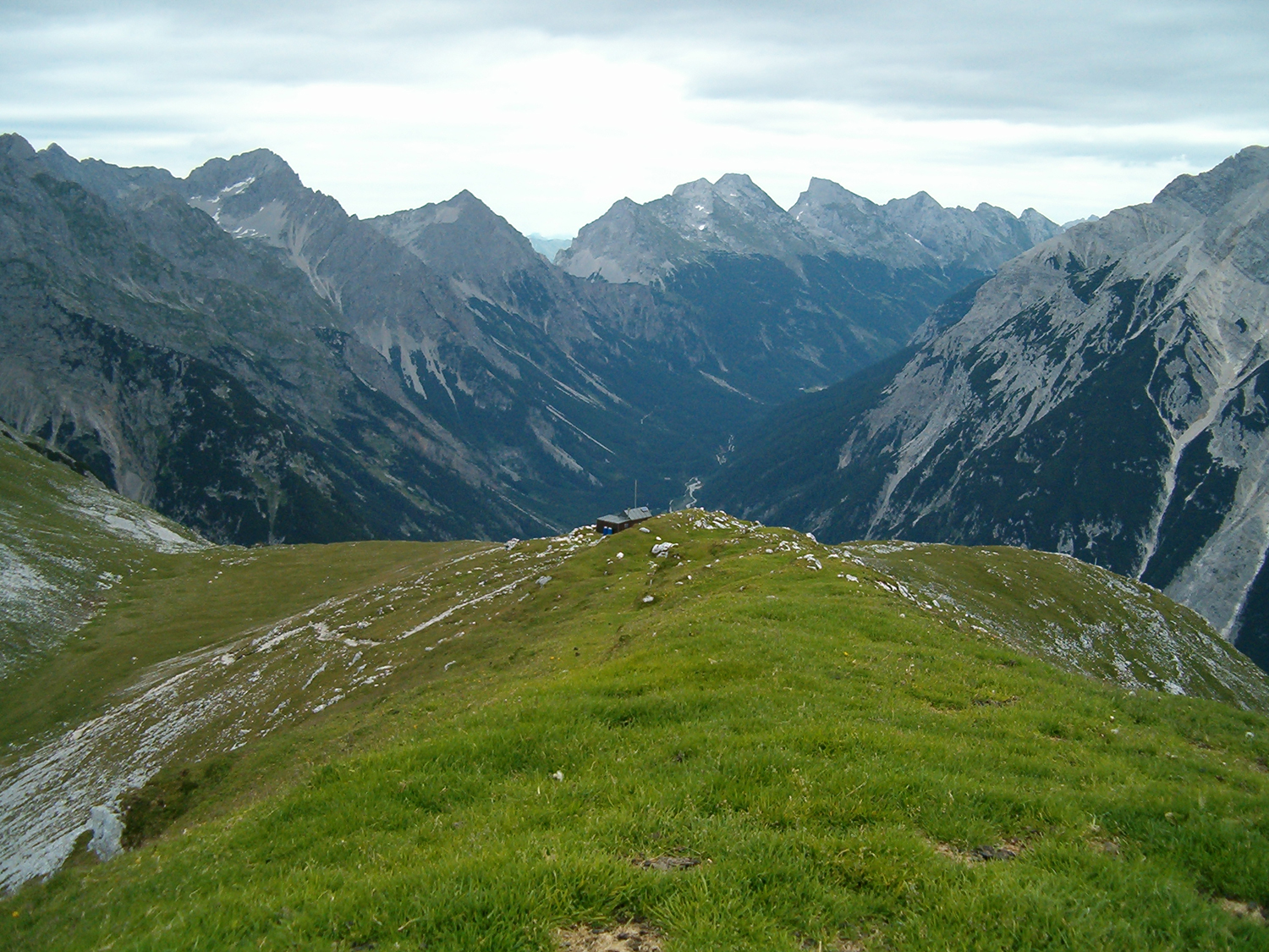
Tirolerhütte seen from the peak
Rotwandlspitze, 2192m. In
the background the Karwendel mountains with
peaks up to 2400m. |
On the
other way is Brunnsteinspitze, 2180 m. The path goes over the ridge and
is in fact easier than it looks.
|
|
|
|
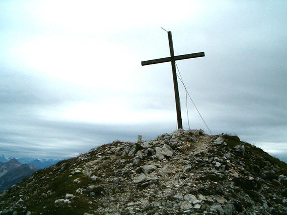
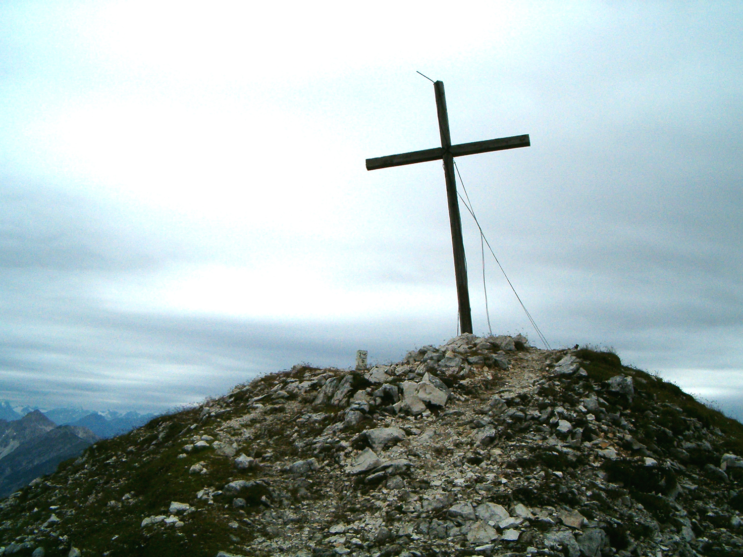
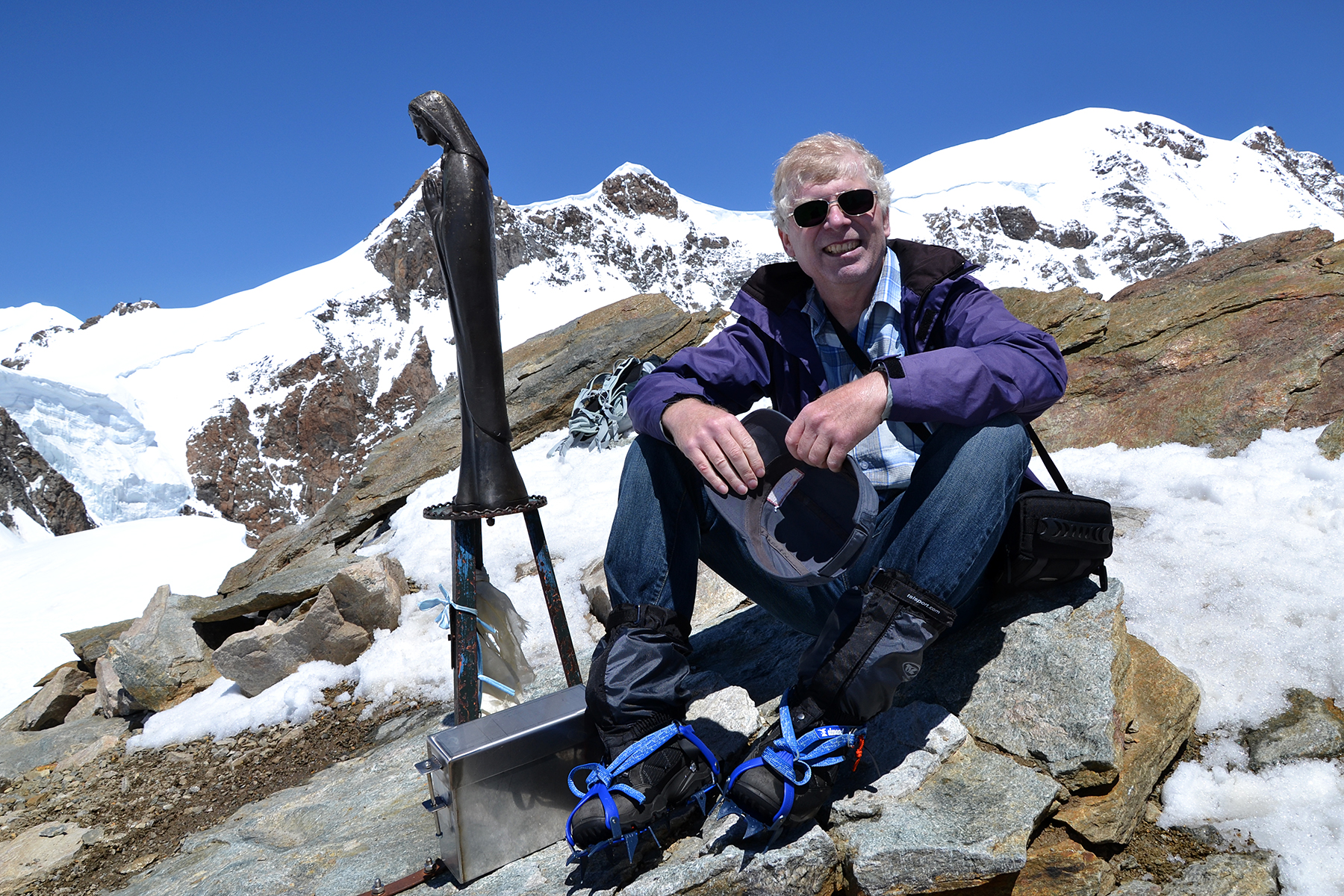
Over at Brunnsteinspitze.
Feels
good, now it´s only a
matter of getting down again... |
|
|


